Could not geocode “79 L� H?ng Phong, ph??ng 2, Qu?n 5, Th�nh ph? H? Ch� Minh”: no answer to geocode request.
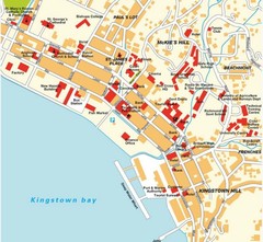
Kingstown city Map
675 × 621•101 KB•JPG
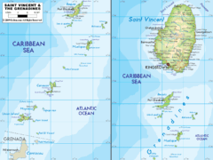
St. Vincent and the Grenadines Map
1412 × 1057•261 KB•GIF
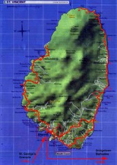
St. Vincent tourist Map
1440 × 2031•212 KB•JPG

US outlying minor properties Map
1200 × 1542•160 KB•GIF
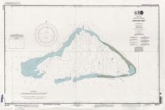
Kingman reef Map
Near kingman reef
6826 × 4543•3.2 MB•JPG

Guntersville Lake Map
Near Largest lake in Alabama
2447 × 1585•2.0 MB•JPG
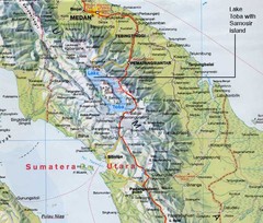
Samosir island Lake Toba, Sumatra Map
The 4th largest island on a lake
Near sumatra
797 × 678•108 KB•JPG
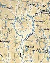
rené-levasseur island Manicouagan Reservoi...
Manicouagan Reservoir (also Lake Manicouagan) is a lake in central Quebec, Canada. Due to its...
Near 51°23′50″N 68°41′30...
576 × 720•99 KB•JPG

Chapman University Map
169 KB•PDF
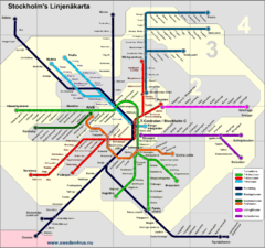
Stockholm tunnelband Map
Near Stockholm
1595 × 1494•248 KB•GIF
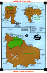
Norfolk Island dive sites Map
Near norfolk island
401 × 624•183 KB•JPG
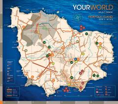
Norfolk Island tourist Map
Near norfolk island
1024 × 900•293 KB•JPG
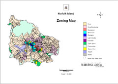
Norfolk Island zoning Map
Near norfolk island
1122 × 794•370 KB•JPG
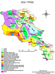
Armenian soil types Map
500 × 667•69 KB•JPG
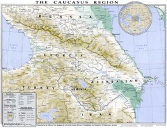
Detailed map of Caucasus region
3119 × 2392•1.2 MB•JPG

Armenia overlaid over southern California Map
769 × 570•50 KB•JPG
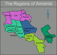
Armenia regions Map
1239 × 1196•201 KB•PNG
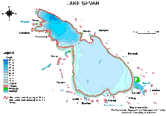
Lake Sevan water levels Map
681 × 478•51 KB•GIF
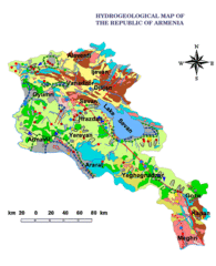
Armenia Hydrological Map
591 × 729•84 KB•GIF
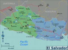
El Salvador regions Map
2500 × 1847•1022 KB•PNG
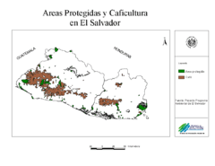
El Salvador coffee growing areas Map
1057 × 816•22 KB•GIF
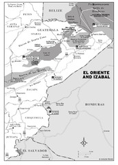
El Oriente and Izabal region Map
Near oriente
1496 × 2083•308 KB•JPG
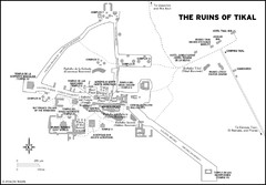
Tikal ruins Map
Near tikal
2008 × 1394•235 KB•JPG
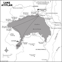
Lake Atitlan Map
1392 × 1392•184 KB•JPG
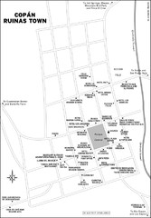
Copan Ruinas town Map
Near copan ruinas
1392 × 2006•284 KB•JPG
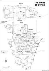
Copan Ruins Map
Near copan ruins
1394 × 2008•272 KB•JPG
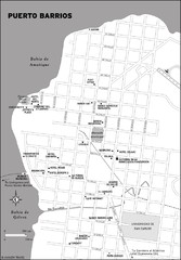
Puerto Barrios city Map
1392 × 2006•305 KB•JPG
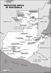
Protected areas of Guatemala Map
1392 × 2006•261 KB•JPG

Angola detailed Map
372 KB•PDF
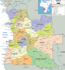
Angola poiitical regions Map
1412 × 1534•534 KB•GIF
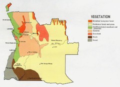
Angola vegetation Map
899 × 652•111 KB•JPG
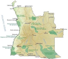
Angola National Parks Map
722 × 632•111 KB•JPG
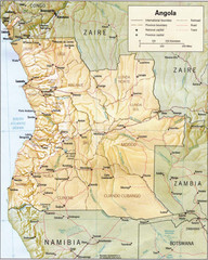
Angola relief Map
949 × 1188•342 KB•JPG
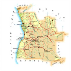
Angola Map
902 × 890•87 KB•JPG
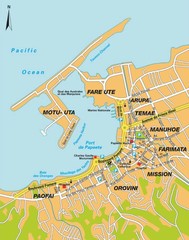
Papeete city Map
Near tahiti
567 × 720•87 KB•JPG
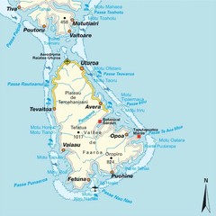
Raiatea (Hava'i) island Map
Near raiatea
723 × 724•86 KB•JPG
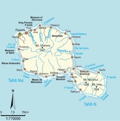
Tahiti Map
Near tahiti
716 × 726•78 KB•JPG
page 18 of 379


