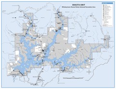
Shasta Unit - Whiskeytown-Shasta-Trinity National...
Map of Shasta Lake, California, showing roads, campgrounds, marinas and resorts, hiking and biking...
648 miles away
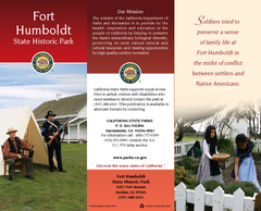
Fort Humboldt State Historic Park Map
Map of park with detail of trails and recreation zones
649 miles away

Weaverville Joss House State Historic Park Map
Map of park with detail of trails and recreation zones
649 miles away
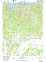
Bella Vista Quad - Shasta Lake Map
Topographic map, Bella Vista Quadrangle, California 1976. Area of map includes a portion of Shasta...
649 miles away
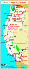
Major West Coast Volcanoes (Washington, Oregon...
650 miles away
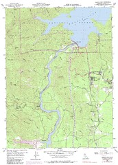
Shasta Dam Quad - Shasta Lake Map
Topographic map, Shasta Dam Quadrangle, California 1969. Area of map includes a portion of Shasta...
650 miles away
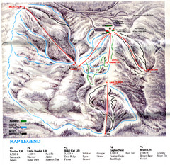
Iron Mountain Trail Map
Iron Mountain ski area
653 miles away
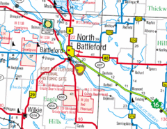
North Battleford, Saskatchewan Map
657 miles away
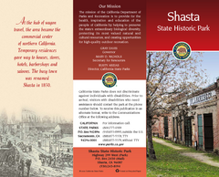
Shasta State Historic Park Map
Map of park with detail of trails and recreation zones
658 miles away
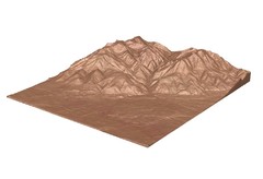
Emigrant Montana towards Baldy and Emigrant Peak...
Emigrant, MT towards Baldy and Emigrant Peak
659 miles away
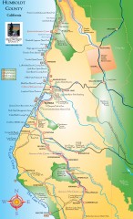
Humboldt County, California Map
Tourist map of Humboldt County, California. Shows parks, wildlife refuges, visitor centers, and...
660 miles away
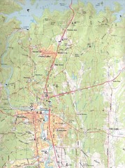
Redding, California City Map
660 miles away
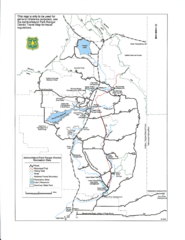
Ashton/Island Park Recreation Sites Map
661 miles away
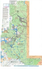
Island Park Idaho Area Snowmobile Map
661 miles away
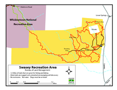
Swasey Recreation Area Map
12 Miles of trails that are great for hiking and biking. Most trails are rugged and unmarked...
661 miles away
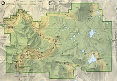
Lassen Volcanic National Park Map
667 miles away
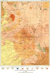
Lassen Peak District Geological Map
Geologic map of the Lassen Peak area in Lassen National Park, California. Shows sedimentary rock...
669 miles away
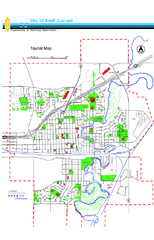
Swift Current Tourist Map
Tourist map of Swift Current, Saskatchewan. Shows all parks and walking paths.
670 miles away
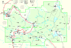
Lassen Volcanic National Park Official Park Map
Official NPS map of Lassen Volcanic National Park in California. Map shows all areas. Lassen...
670 miles away

Burning Map 2005 Map
Artistic representation of Burning Man's Black Rock City.
671 miles away
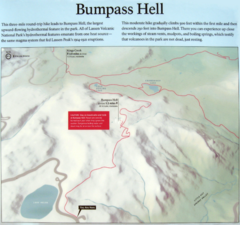
Bumpass Hell Trail Map
Trail map of route to Bumpass Hell, a major area of geo-thermal activity in Lassen National Park...
671 miles away
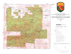
Latour State Forest Map
Countour map of the Latour Demonstration Forest.
676 miles away
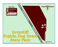
Greycliff Prairie Dog Town State Park Map
Grab your camera and hop off Interstate 90 at Greycliff to delight in the playful, curious black...
679 miles away
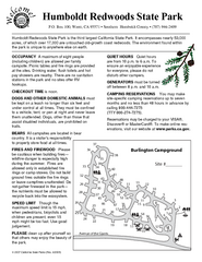
Humboldt Redwoods State Park Campground Map
Map of campground region park with detail of trails and recreation zones
679 miles away
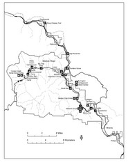
Humboldt Redwoods State Park Map
Park map of Humboldt Redwoods State Park, California. Shows Avenue of the Giants, trailheads and...
680 miles away
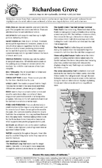
Richardson Grove State Park Campground Map
Map of campground region of park with detail of trails and recreation zones
683 miles away
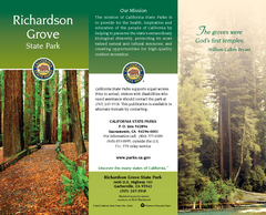
Richardson Grove State Park Map
Map of park with detail of trails and recreation zones
683 miles away
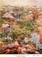
Detail of Yellowstone National Park, 1910 Map
Detail of Yellowstone National Park showing the Oregon Short Line Railroad, 1910
687 miles away

William B. Ide Adobe State Historic Park Map
Map of park with detail of trails and recreation zones
687 miles away
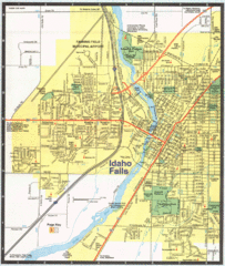
Idaho Falls, Idaho City Map
689 miles away
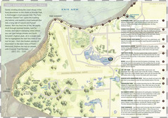
Tony Knowles Coastal Trail, Alaska Map
689 miles away
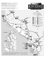
King Range National Conservation Area Trail Map
Trail map of the King Range National Conservation Area, home of the Lost Coast, California. Shows...
691 miles away
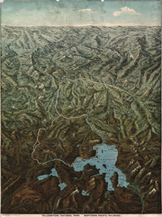
Fee’s map of Yellowstone National Park...
Charles S. Fee's map of Yellowstone in 1895.
692 miles away
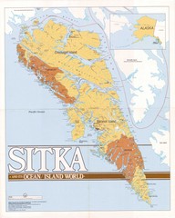
Sitka Area Map
Shows Sitka, Alaska area on Baranof Island.
695 miles away
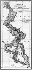
1871 Yellowstone River and Lake Map
Historic guide to the Yellowstone River and Lake in Yellostone National Park
695 miles away
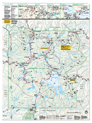
Yellowstone National Park official map
Official NPS map of Yellowstone National Park. Detail map of park with shaded relief. Established...
696 miles away
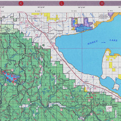
Lassen National Park Map
Forest Visitor Map of the farthest east of the park, shows all camping and recreational areas and...
696 miles away
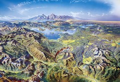
Yellowstone oblique Map
Oblique Panorama map of Yellowstone National Park
696 miles away
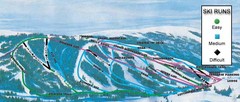
Kelly Canyon Ski Area Ski Trail Map
Trail map from Kelly Canyon Ski Area, which provides downhill, night, and terrain park skiing. It...
697 miles away

Sitka Road System Map
697 miles away

