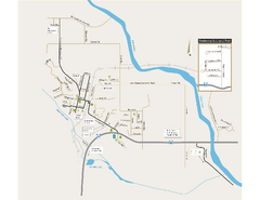
Shuttle to Town Map
139 miles away
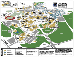
University of Victoria - Cycling Amenities Map
Showing the various cycling related amenities ie. Covered Bicycle Parking, bicycle lockers...
140 miles away
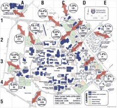
UVic Bicycle Access Patterns 2010 Map
Showing bicycle usage statistics
140 miles away
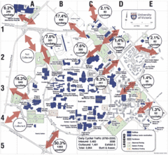
UVic Bicycle Access Patterns 2008 Map
Showing bicycle usage statistics
140 miles away
BEACON HILL PARK MAP
140 miles away
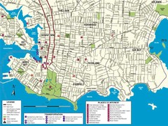
Downtown Victoria Map
140 miles away
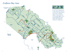
Cadboro Bay Area Map
140 miles away
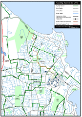
Cycling routes to UVic Map
Bike Route Map of Local Area around UVic © 2007, University of Victoria Updated 17 April...
140 miles away
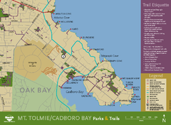
Mt. Tolmie & Cadboro Bay Map
Section of larger map, showing Seaside Touring Route and other regional and local cycling routes...
141 miles away

San Juan Island tourist map
San Juan Island and Friday Harbor tourist map. Shows all businesses.
147 miles away
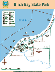
Birch Bay State Park Map
Map of park with detail of trails and recreation zones
147 miles away
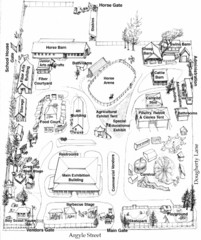
San Juan County Fair Map 2008
Fairgrounds map for the San Juan County Fair, Friday Harbor, Washington
148 miles away

Orcas tourist map
Tourist map of Orcas, Washington. Shows all businesses.
149 miles away
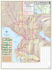
Bellingham, Washington City Map
149 miles away
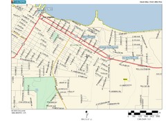
Port Angeles City Map
149 miles away
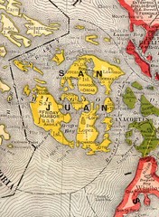
San Juan County Washington, 1909 Map
150 miles away
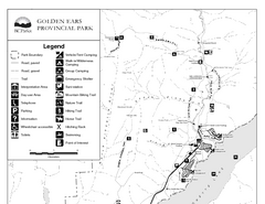
Golden Ears Provincial Park Map
Park map of Golden Ears Provincial Park, BC. 2 pages.
151 miles away
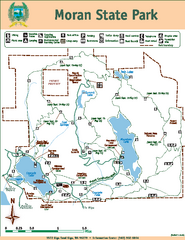
Moran State Park Map
Map of park with detail of trails and recreation zones
152 miles away
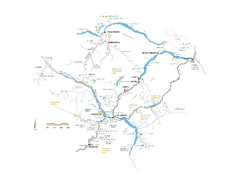
Pemberton Valley Area Parks Map
Area parks map of Pemberton Valley area in BC. Shows peaks and lakes.
153 miles away
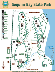
Sequim Bay State Park Map
Map of park with detail of trails and recreation zones
153 miles away
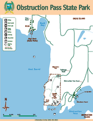
Obstruction Pass State Park Map
Map of park with detail of trails and recreation zones
153 miles away
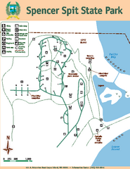
Spencer Spit State Park Map
Map of park with detail of trails and recreation zones
154 miles away
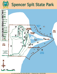
Spencer Spit State Park Map
Map of park with detail of trails and recreation zones
154 miles away
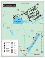
Birkenhead Lake Provincial Park Map
Park map of Birkenhead Lake Provincial Park, BC. Inset of campground
155 miles away
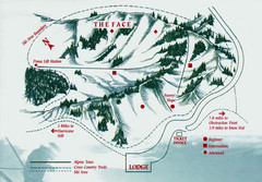
Hurricane Ridge Ski Trail Map
Trail map from Hurricane Ridge.
155 miles away
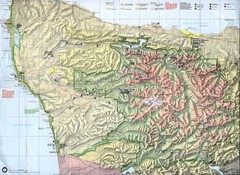
Olympic National Park Map
159 miles away
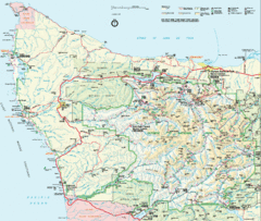
Olympic National Park Map
160 miles away
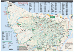
Olympic National Park wilderness campsite map
Official wilderness campsite map of Olympic National Park. Shows roads, trails, visitor...
160 miles away
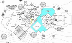
Lynden City Park Map
160 miles away
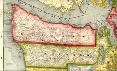
Clallam and Jefferson Counties Washington, 1909...
163 miles away
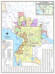
Bellingham, Washington City Map
163 miles away
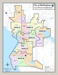
Bellingham Ward Map
Guide to wards in Bellingham, WA
163 miles away
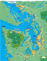
Seattle Ferry Guide Map
Map of ferries around Seattle, Puget Sound and Olympic Peninsula
165 miles away
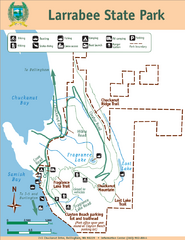
Larrabee State Park Map
Park map of Larrabee State Park, Washington.
166 miles away
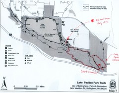
Lake Padden Park Trails Map
Course Elevation Map noted in handwriting on map. Festival location noted as well.
166 miles away
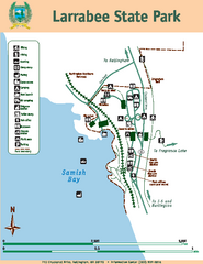
Larrabee State Park Map
Map of island with detail of trails and recreation zones
166 miles away
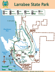
Larrabee State Park Map
Map of island with detail of trails and recreation zones
166 miles away
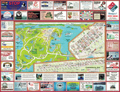
Anacortes tourist map
Tourist map of Anacortes, Washington. Shows recreation and points of interest.
166 miles away
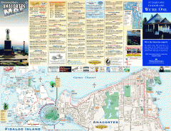
Fidalgo Island tourist map
Tourist map of Fidalgo Island in Anacortes, Washington. Shows recreation and points of interest.
168 miles away

