
Mohican State Park map
Detailed recreation map for Mohican State Park in Ohio
408 miles away
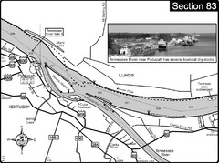
Ohio River & Tennessee River at Paducah, KY...
This is a page from the Ohio River Guidebook. The map shows important information for boaters and...
408 miles away
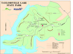
Taylorsville Lake State Park Map
Map of trails and facilities in Taylorsville Lake State Park.
409 miles away

Central Kentucky Trail Map
409 miles away
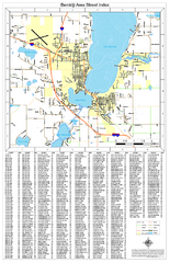
Bemidji Street Map
Street map of the Bemidji, Minnesota area
409 miles away
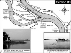
Ohio River at Cairo, IL and the Mississippi River...
The Ohio River ends at it's confluence with the Mississippi River at mile 981. This is a page...
410 miles away
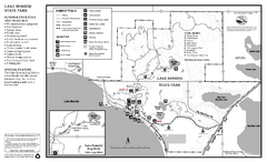
Lake Bemidji State Park Summer Map
Summer seasonal map of park with detail of trails and recreation zones
410 miles away

Lake Bemidji State Park Winter Map
Winter seasonal map of park with detail of trails and recreation zones
410 miles away
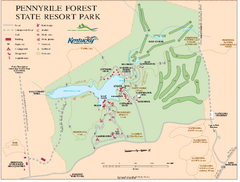
Pennyrile State Resort Park map
Recreation map for Pennyrile Forest State Park in Kentucky
412 miles away
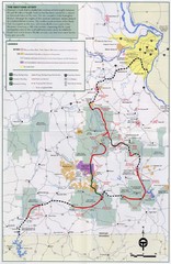
Ozark Trail Map
412 miles away
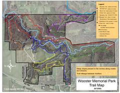
Wooster Memorial Park Trail Map
413 miles away
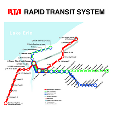
Cleveland Rapid Transit Map
413 miles away
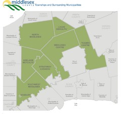
Middlesex County Map
Guide to Middlesex County and surrounds
413 miles away
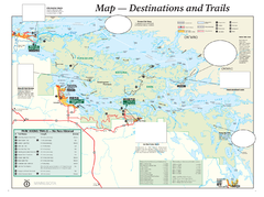
Voyageurs National Park Official Park Map
Official NPS map of Voyageurs National Park in Minnesota. Map shows all areas and hiking trails...
414 miles away

London Ski Club at Boler Mountain and Brochure...
Trail map from London Ski Club at Boler Mountain, which provides downhill skiing. This ski area has...
415 miles away
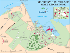
Kentucky Dam Village State Resort Park Map
Map of golf course and facilities for Kentucky Dam Village State Resort Park, one of three state...
415 miles away
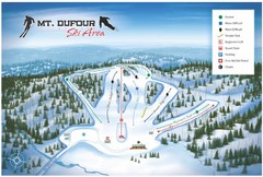
Mount Dufour Ski Trail Map
Trail map from Mount Dufour, which provides downhill skiing. This ski area has its own website.
415 miles away
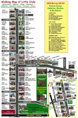
Little Italy Map
Walking tour map with labeled sites.
416 miles away
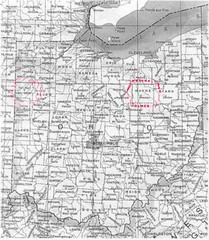
Ohio County Map
417 miles away

Manitoulin Island Map
The largest Island on a lake
418 miles away
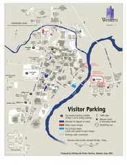
University of Western Ontario Map
Campus map
418 miles away
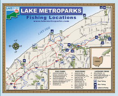
Lake Metroparks Fishing Map
418 miles away
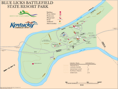
Blue Licks Battlefield State Resort Park Map
Map of Trails and Facilities in Blue Licks Battlefield State Resort Park.
418 miles away
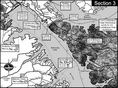
Kentucky Lake Tennesssee River-Land Between the...
This is the upper end of Kentucky Lake which is the Tennessee River. The map is designed for...
418 miles away
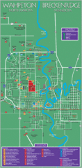
Wahpeton and Breckenridge City Map
City map of Wahpeton, North Dakota and Breckenridge, Minnesota. Shows motels, education...
419 miles away

Buena Vista Ski Area Frontside Ski Trail Map
Trail map from Buena Vista Ski Area.
420 miles away

Buena Vista Ski Area Backside Ski Trail Map
Trail map from Buena Vista Ski Area.
420 miles away
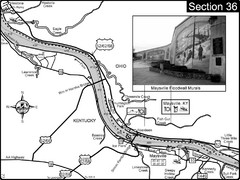
Ohio River at Maysville, Kentucky Map
This is a page from the Ohio River Guidebook. The map shows important information for boaters and...
420 miles away
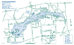
Buckeye Lake State Park map
Detailed recreation map for the Buckeye Lake area in Ohio
420 miles away
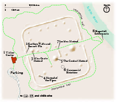
Hopewell Culture National Historical Park...
Official NPS map of Hopewell Culture National Historical Park in Ohio. Map shows all areas. he...
421 miles away
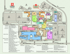
Fanshawe College Map
Campus map of London Campus
421 miles away
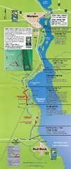
Nipigon River Recreational Trail Map
Map of the river trail between Red Rock and Nipigon.
424 miles away
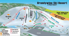
Boston Mills / Brandywine Ski Resort Brandywine...
Trail map from Boston Mills / Brandywine Ski Resort.
424 miles away
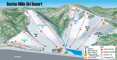
Boston Mills / Brandywine Ski Resort Boston Mills...
Trail map from Boston Mills / Brandywine Ski Resort.
424 miles away
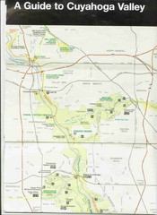
Cuyhoga National Park Map
425 miles away
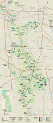
Cuyahoga Valley National Park Official Park Map
Official NPS map of Cuyahoga Valley National Park in Ohio. Map shows all areas. Cuyahoga Valley...
425 miles away
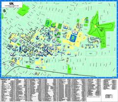
University of Kentucky Map
Campus Map of the University of Kentucky. All areas shown.
428 miles away
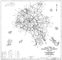
Fayette County General Highway Map
Transportation Map of Fayette County, KY
429 miles away
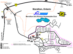
Marathon Trail Map
Map of Marathon with detail on snowmobile trails
429 miles away
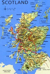
Scotland Tourist Map
429 miles away

