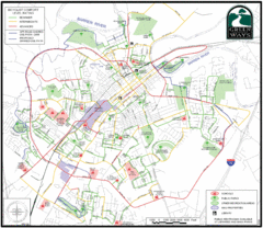
Bowling Green Biking Map
Map of biking trails in the city of Bowling Green area. Includes all streets, parks, some buildings...
381 miles away
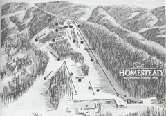
The Homestead Ski Area Ski Trail Map
Trail map from The Homestead Ski Area.
381 miles away
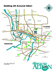
Alton, Illinois, and surrounding areas Map
Tourist map of the area around Alton, Illinois, showing ferry terminals, locks and dams, airports...
381 miles away

Map of Jones-Confluence Point State Park
382 miles away
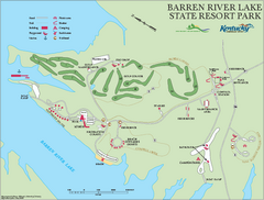
Barren River State Park map
Recreation map for Barren River Lake State Park in Kentucky
383 miles away
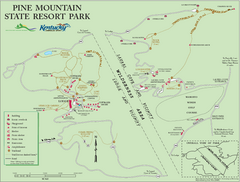
Pine Mountain State Resort Park Map
Map of trails and facilities in Pine Mountain State Resort Park .
383 miles away
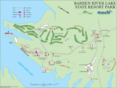
Barren River Lake State Resort Park Map
Map of facilities and golf course in Barren River Lake State Resort Park.
383 miles away

Locator Map for Jones-Confluence Point State Park
383 miles away

R. B. Winter State Park map
Recreation map for R. B. Winter State Park in Pennsylvania
383 miles away
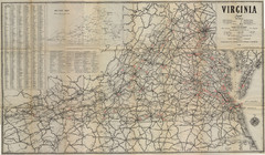
1940 Virginia Map
Guide to roads and highways of Virginia
383 miles away
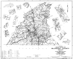
Mccreary County General Highway Map
Map of McCreary County with road, waterways and towns identified.
384 miles away

Columbia Bottom Conservation Area Map
384 miles away
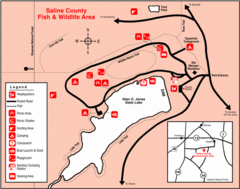
Saline County State Fish & Wildlife Area...
384 miles away

Upper Mississippi River Mile 188 to Mile 256 Map
history, mississippi river, river, baton rouge, donaldsonville, nottoway, gramercy, new orleans...
384 miles away
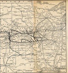
1925 Union Pacific Railroad Map Part 2
Guide to the Union Pacific railroad lines in the Midwest of the United States
386 miles away
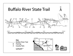
Buffalo River State Trail Map
Detailed map of excited hike through nature's finest.
386 miles away
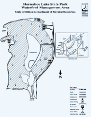
Horseshoe Lake State Park, Illinois Site Map
387 miles away

Horseshoe Lake State Park, Illinois Site Map
387 miles away

Colonel Denning State Park map
Detailed map of Colonel Dening State Park in Pennsylvania
388 miles away
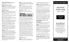
Douthat State Park Map
Clear state park map with marked facilities.
388 miles away
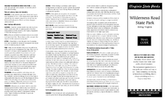
Wilderness Road State Park Map
Clearly marked state park map and legend.
388 miles away
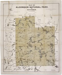
Algonquin National Park Map 1893
Map of Algonquin National Park of Ontario. "Prepared to accompany Report of Park...
388 miles away

Chesapeake & Ohio Canal National Historical...
Official NPS map of Chesapeake & Ohio Canal National Historical Park in Pennsylvania, West...
389 miles away
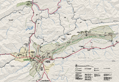
Cumberland Gap National Historical Park Official...
Official NPS map of Cumberland Gap National Historical Park in Virginia-Tennessee-Kentucky. Map...
390 miles away
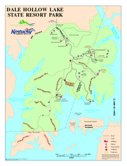
Dale Hollow Lake State Park Map
Map of trails and facilities of Dale Hollow Lake State Park.
390 miles away
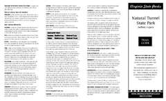
Natural Tunnel State Park Map
Detailed and informative state park map and legend.
390 miles away
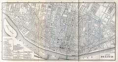
Antique map of St. Louis from 1885
Map of Saint Louis, Missouri from Appletons' General Guide to the United States and Canada...
391 miles away
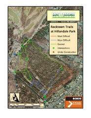
Rocktown Trail Map
Aerial trail map of Rocktown trails at Hillandale Park in Harrisonburg, VA
392 miles away
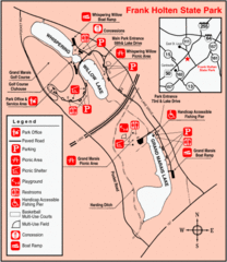
Frank Holten State Park, Illinois Site Map
392 miles away
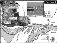
Grafton, IL Illinois River/Mississippi River/Pere...
This is the end of the Illinois River at the confluence with the Mississippi River. For boating...
392 miles away
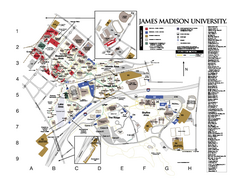
James Madison University Map
James Madison University Campus Map. All buildings shown.
392 miles away
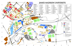
James Madison University Map
393 miles away

Chippewa Valley Trail System Map
Multiple trails and hiking routes in the Chippewa Valley.
393 miles away
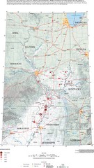
Earthquakes in the Central US Map
Map of central U.S. earthquakes from 1699 to 2002
393 miles away
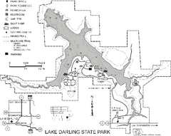
Lake Darling State Park Map
Map of hiking, biking and skiing trails, lake depths and park facilities for Lake Darling State...
393 miles away
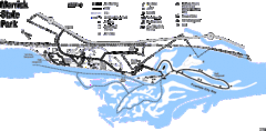
Merrick State Park Map
Beautiful hikes around the waterfront.
393 miles away
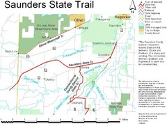
Saunders State Trail Map
Points of interest, lakes, roads, forests and more are marked on this map's key.
394 miles away
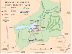
Pennyrile State Resort Park map
Recreation map for Pennyrile Forest State Park in Kentucky
394 miles away
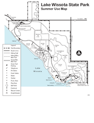
Lake Wissota State Park Map
Easy hiking along the beautiful water front.
394 miles away

Shimek State Forest Hiking Trail Map
Map of hiking trails in Shimek State Forest.
394 miles away

