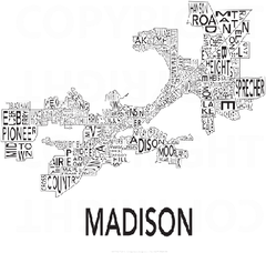
Urban Neighborhood Map: Madison Map
This Urban Neighborhood Poster of Madison is a modern twist on traditional maps. The typography...
261 miles away
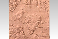
Pittsburgh, PA carved by carvedmaps.com Map
We can carve any location within the United States. Do you have a mountain cabin? We can carve...
261 miles away
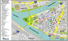
Pittsburgh Tourist Map
261 miles away
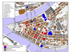
Pittsburgh Tourist Map
261 miles away
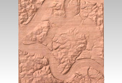
Pittsburgh map carved by CarvedMaps.com
Wood Map of the three rivers area of Pittsburgh, PA. CarvedMaps.com can carve any area within...
261 miles away
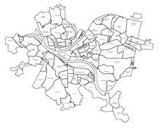
Pittsburgh neighborhoods Map
261 miles away

Terry Fox Run Trail Map
261 miles away
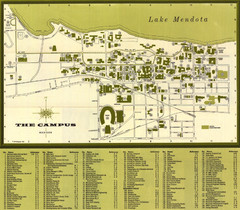
University of Wisconsin-Madison Campus (1964...
University of Wisconsin-Madison (1964) Visitor's Map
262 miles away
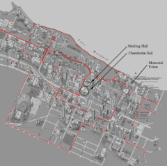
University of Wisconsin-Madison Campus Map
Map of the University of Wisconsin Campus. Includes all buildings, streets, and auditoriums.
262 miles away
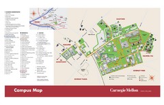
Carnegie Mellon Campus Map
Map of the Carnegie Mellon Campus. Includes all buildings, streets and the location of the campus...
263 miles away
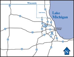
Illinois Highway Map
Highway Map of Illinois and area. Shows all Highways around Chicago area.
263 miles away
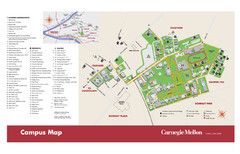
Carnegie Mellon Campus Map
Campus map of Carnegie Mellon University (CMU) in Pittsburgh, PA.
263 miles away
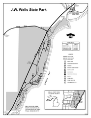
Wells State Park, Michigan Site Map
263 miles away
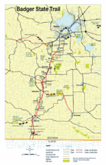
Badger State Trail Map
One of Wisconsin's best trails.
263 miles away
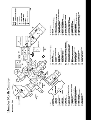
Humber College North Campus Map
Humber College North Campus Map. Shows all buildings.
263 miles away
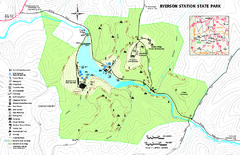
Ryerson Station State Park map
Detailed recreation map of Ryerson Station State Park in Pennsylvania
263 miles away

Humber College North Campus Map
264 miles away

Humber College North Campus Parking Map
264 miles away
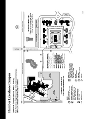
Humber College Lakeshore Campus Map
Humber College Lakeshore Campus Map. Map is of both East and West Campus. Shows all buildings.
264 miles away
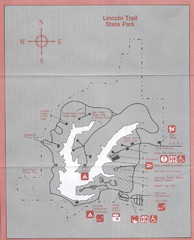
Lincoln Trail State Park, Illinois Site Map
265 miles away
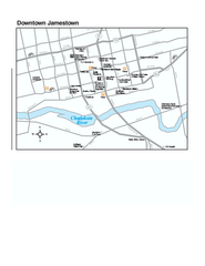
Downtown Jamestown Map
Tourist map of Downtown Jamestown, New York. Shows shops, parking, cinemas, hotels, and government...
265 miles away
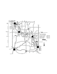
Sugar River Map
Towns, roads and rivers are all clearly marked on this map.
265 miles away
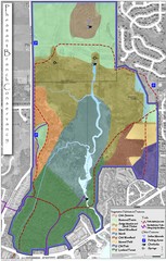
Pheasant Branch Conservancy Vegetation Map
Vegetation map of the Pheasant Branch Conservancy in Middleton, Wisconsin. Shows vegetative...
265 miles away

Manitoulin Island Map
The largest Island on a lake
267 miles away
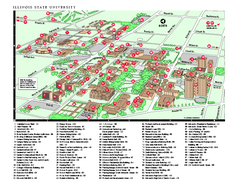
Illinois State University Map
Illinois State University Campus Map. All buildings shown.
267 miles away
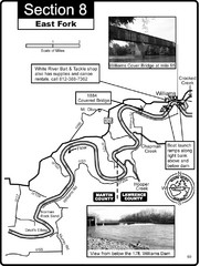
Williams, IN White River East Fork Map
This is a page from the White River Guidebook. The map shows important information for boaters and...
268 miles away
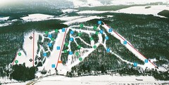
Cockaigne Ski Resort Ski Trail Map
Trail map from Cockaigne Ski Resort.
268 miles away
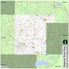
Regional Road Map of Waupaca County, Wisconsin
268 miles away
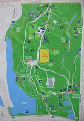
High Park Map
268 miles away
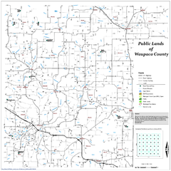
Public Lands of Waupaca County Map
268 miles away
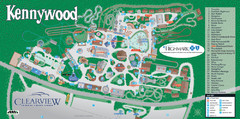
Kennywood Theme Park Map
"America's Finest Traditional Amusement Park" is the slogan for this fun, high rated...
269 miles away
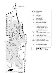
New Glaris Woods Map
Marked bathroom stops, trails, ect.
269 miles away
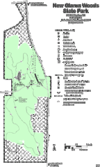
New Glarus Woods State Park Map
269 miles away
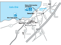
Silver Creek and Irving Map
Tourist map of Silver Creek and Irving, New York. Shows shops, boat ramps, and marinas.
270 miles away

Chapman State Park map
Detailed map of Chapman State Park in Pennsylvania
271 miles away
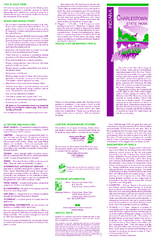
Charlestown State Park Map
271 miles away
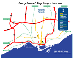
George Brown College Campus Map
George Brown College Campus Map. Shows all buildings.
271 miles away
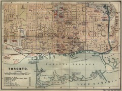
Antique map of Toronto from 1894
"Toronto" from Baedeker, Karl. The Dominion of Canada with Newfoundland and an Excursion...
272 miles away
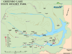
Greenbo Lake State Resort Park map
Detailed recreation map for Greenbo Lake State resort park in Kentucky
272 miles away
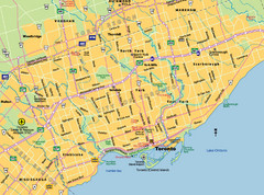
Toronto City Map
Street map of Toronto city
272 miles away

