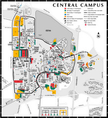
Bakersfield Commons Site Existing Conditions Map
97 miles away

Bakersfield Commons Proposed Retention Areas Map
97 miles away

Bakersfield College Campus Map
Bakersfield College Campus Map. All buildings shown.
98 miles away

Bakersfield Commons Site Features Map
98 miles away

Lake Ming Area Map
Lake Ming is located 10 miles northeast of Bakersfield, off of Hwy. 178 along Alfred Harrell Hwy...
98 miles away

Lower Kern River Map
This portion of the Kern River extends from the Lower Richbar picnic area to Hart Park. Although...
98 miles away
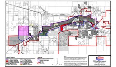
City of Barstow Zoning Map
Map illustrates the zoning and boundary areas of the city of Barstow.
98 miles away
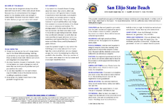
San Elijo State Beach Campground Map
Map of campground region of beach and park with detail of trails and recreation zones
98 miles away
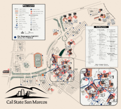
Cal State San Marcos Campus Map
Campus map of Cal State San Marcos in San Marcos, CA
98 miles away
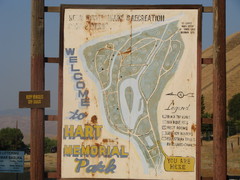
Hart Memorial Park Map
99 miles away
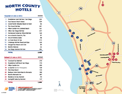
North County San Diego Tourist Map
Tourist map of North County area of San Diego, with hotel listings
99 miles away
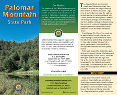
Palomar Mountain State Park Map
Map of park with detail of trails and recreation zones
102 miles away
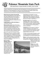
Palomar Mountain State Park Campground Map
Map of campground region of park with detail of trails and recreation zones
102 miles away
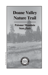
Palomar Mountain State Park Trail Map
Map of doane valley trail in park
102 miles away
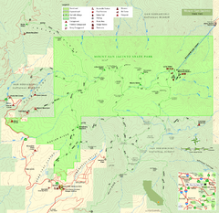
Mount San Jacinto State Park Map
Map of park with detail of trails and recreation zones
103 miles away
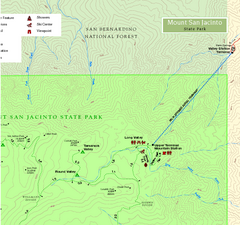
Mount San Jacinto State Park NE Map
Map of NE region of park with detail of trails and recreation zones
103 miles away
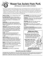
Mount San Jacinto State Park Campground Map
Map of campground region of park with detail of trails and recreation zones
103 miles away
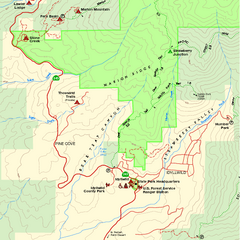
Mount San Jacinto State Park SW Map
Map of SW region of park with detail of trails and recreation zones
104 miles away
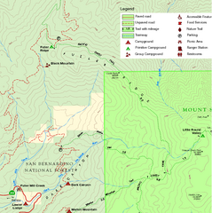
Mount San Jacinto State Park NW Map
Map of NW region of park with detail of trails and recreation zones
104 miles away
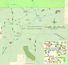
Mount San Jacinto State Park SE Map
Map of SE region of park with detail of trails and recreation zones
104 miles away
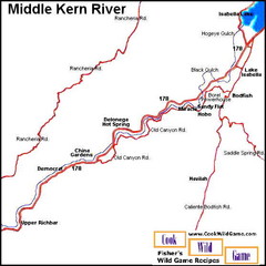
Middle Kern River Area Map
This majestic, rugged, canyon portion of the Kern River extends from Lake Isabella to the Upper...
105 miles away
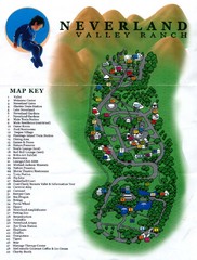
Michael Jackson's Neverland Ranch Map
Map shows all points of interest at Michael Jackson's Neverland Ranch near Los Olivos, CA.
105 miles away
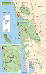
Torrey Pines State Beach and Reserve Map
Topo map of Torrey Pines State Beach and Reserve near San Diego, CA. Rated the #9 beach in America...
105 miles away
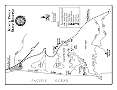
Torrey Pines State Reserve Trail Map
Map of park with detail of trails and recreation zones
105 miles away
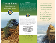
Torrey Pines State Park Map
Map of park with detail of trails and recreation zones
105 miles away
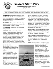
Gaviota State Park Campground Map
Map of campground region of park with detail of trails and recreation zones
106 miles away
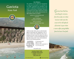
Gaviota State Park Map
Map of park with detail of trails and recreation zones
106 miles away
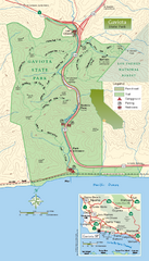
Gaviota State Park Zoom Map
Zoom map of park with detail of trails and recreation zones
106 miles away
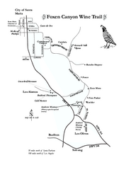
Foxen Canyon Wine Trail Map
Foxen Canyon area wineries and vineyards, near Santa Barbara, California.
107 miles away

Lake Isabella Map and Statistics
107 miles away

Lake Isabella Camping and Fishing Map
107 miles away

Sequoia (South) National Forest Visitor Map: Lake...
107 miles away

Kern River Valley Area Map
107 miles away

Upper Kern River Area Recreation Opportunities Map
107 miles away
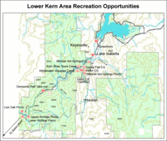
Lower Kern River (Kern Canyon) Area Recreation...
107 miles away

Lake Isabella Area Recreation Opportunities Map
107 miles away
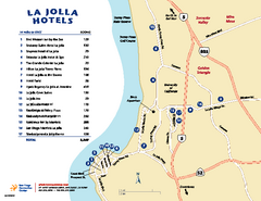
La Jolla Tourist Map
Tourist map of La Jolla, with hotel listings
108 miles away
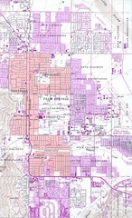
Palm Springs California City Map
110 miles away
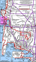
Pacific Beach, San Diego Tourist Map
112 miles away

