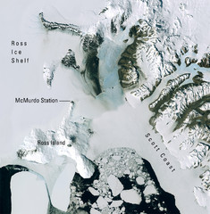
Ross Island McMurdo Station Area Landsat Map
Landsat mosaic map of the Ross Island / Ross Ice Shelf / U.S. McMurdo Station area
0 miles away
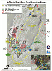
McMurdo and Scott Base Area Recreation Route Map
Shows roads around McMurdo Station (US) and Scott Base (New Zealand) Antarctic research stations on...
17 miles away
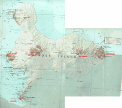
Ross Island Map
Topo map of Ross Island, home of the US McMurdo Station, Mt. Erebus, Mt. Terror, Cape Evans, Cape...
29 miles away
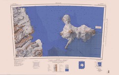
Ross Island Topo Map
Topo map of Ross Island, Antarctica. Shows US Mcmurdo Station, New Zealand Scott Base and volcanic...
36 miles away
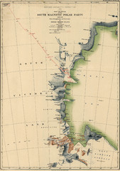
Map of Shackleton’s 1907-1909 Antarctic...
Eric Stewart Marshall's map of Shackleton's "Nimrod" expedition of 1907-09.
55 miles away
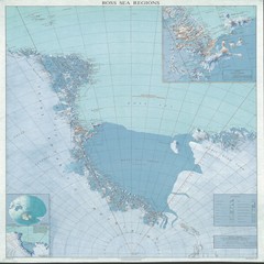
Ross Sea Regions Map
Physical relief map of the Ross Sea regions. Shows Victoria Land, Ross Sea, McMurdo Sound, Ross Ice...
256 miles away
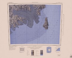
Coulman Island Map
An island 18 miles long and 8 miles wide
315 miles away
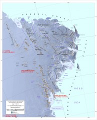
Victoria Land and the Northern Trans-Antarctic...
Shows major glaciers and mountains
358 miles away
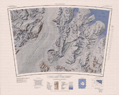
The Cloudmaker Topo Map
Topo map of region surrounding The Cloudmaker mountain and the Beardmore Glacier. 1:250,000 scale.
496 miles away
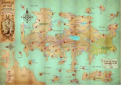
Mapa imaginario del Pais de HASARD Map
864 miles away

Ames Range Topo Map
Topo relief map of the Ames range in western Marie Byrd Land, Antarctica. Shows Mt. Andrus 9,770...
931 miles away
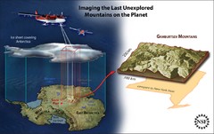
Gamburtsev Subglacial Mountains Map
First ever map of the last unexplored mountains on the planet, the Gamburtsev Subglacial Mountains...
1064 miles away
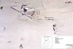
Amundsen Scott South Pole Station Aerial Map
Aerial photo map of the US Amundsen Scott South Pole Station at the South Pole, Antarctica
1117 miles away
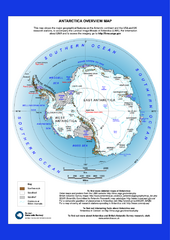
Antarctica Overview Map
Overview map of Antarctica shows geological features and US and UK research stations
1254 miles away
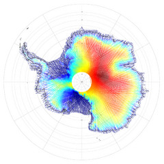
Antarctica Land and Ice Elevation Map
The colors on the map above represent ICESat’s measurements of Antarctica’s topography...
1267 miles away
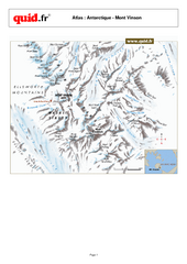
Mont Vinson Map
Map of Vinson Massif mountain range, the highest range in Antartica, 16,050 ft high. Located about...
1313 miles away
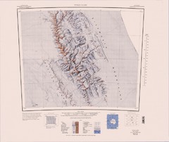
Vinson Massif Topo Map
Topo map of Vinson Massif, the highest mountain in Antarctica at 16067 ft / 4897 m. One of the...
1333 miles away
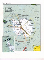
Antarctic Region Political Map 1997
Map centered on South Pole shows all country claims in Antarctica. Also shows year-round research...
1534 miles away
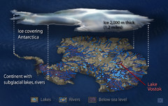
Antarctic Lakes and Rivers Map
Sub-glacial lakes, river systems.
1590 miles away
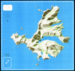
Campbell Island Map
1757 miles away
Alexander Island Map
Topographic map of Alexander Island
1834 miles away
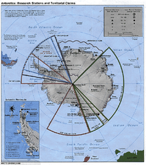
Antarctica 1986 Map
1842 miles away
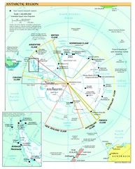
Antarctica Map
1842 miles away
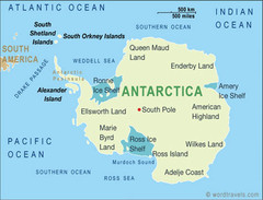
Antarctica Map
1842 miles away
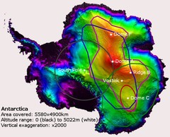
Antarctica Map
1842 miles away
Antarctica Map
1842 miles away

Antarctica Map
1842 miles away
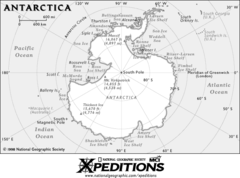
Antarctica Map
1842 miles away
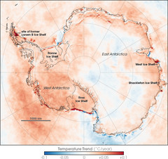
Antarctic Temperature Trend 1981-2007 Map
1842 miles away
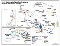
Antarctic Automatic Weather Stations Map
Map of all automatic weather stations in Antarctica
1842 miles away
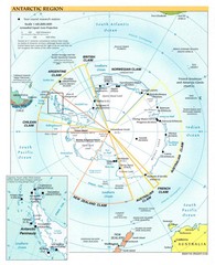
Antarctic Region Map
1842 miles away
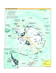
Antarctica Political Map 2005
Political map of Antarctica showing all country claims and bases.
1842 miles away
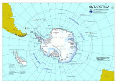
Antarctica Map
Overview map of Antarctica and the Southern ocean
1842 miles away

Auckland Island Map
1885 miles away

Auckland Island Map
1889 miles away
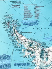
Antarctic Peninsula Map
Shows stations and named geographic features of the Antarctic Peninsula. Scanned.
2059 miles away
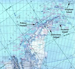
Antarctic Peninsula Map
Physical map of Antarctic Peninsula
2210 miles away
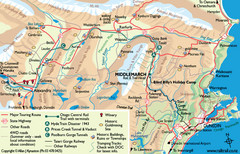
Otago Central Map
Otago map with detail of regional towns, rail station stops, and highways
2233 miles away
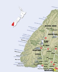
Fiordland Map
Map of Fiorland National Park region
2247 miles away
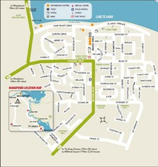
Te Anau Street Map
2249 miles away

