 Back to Austin Directory Page


Auditorium Shores Routes Map
Map of metro transit lines in Austin that serves Auditorium Shores
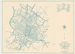
Austin Area Highway Map 1940
General Highway Map. Detail of Cities and Towns in Travis County, Texas [Austin] / 1940

Austin Bus Map
Bus service surrounding the University of Texas in Austin.
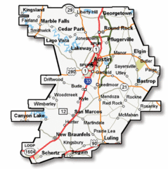
Austin Highway Map
Map of multiple highways passing through Austin.
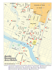
Austin Hotels Map
Map of downtown Austin, with detail of hotels and local attractions
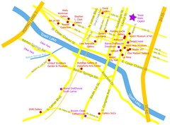
Austin Texas Map
Surrounding buildings and gallerias near Austin, Texas.
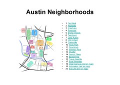
Austin Tx Neighborhoods Map
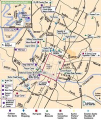
Austin, Texas City Map
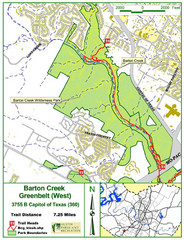
Barton Creek Greenbelt West Map
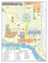
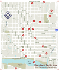
Downtown Austin District Map
Street map of downtown Austin with detail of districts
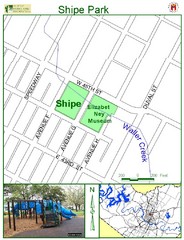
Shipe Park Map
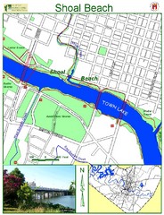
Shoal Beach Map
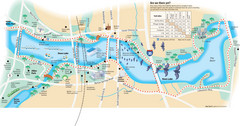
Town Lake Map
Mape of Town Lake and surrounding area, with detail on walking trails
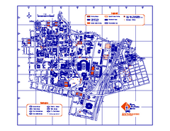
University of Texas at Austin Map
Campus map of the University of Texas at Austin. All buildings shows. UT had 37,037 undergraduates...
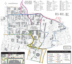
University of Texas-Austin Shuttle Campus Map
Map of University of Texas-Austin Campus Shuttle. Shows shuttle routes, streets, and buildings.

Urban Neighborhood Map: Austin Map
This Urban Neighborhood Poster of Austin is a modern twist on traditional maps - perfect to frame...
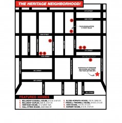
Walking Tour of Historic Austin Map
Walking tour of Austin's historic district in Texas. Shows points of interest and historic...


 Explore Maps
 Map Directory
