Edit this map

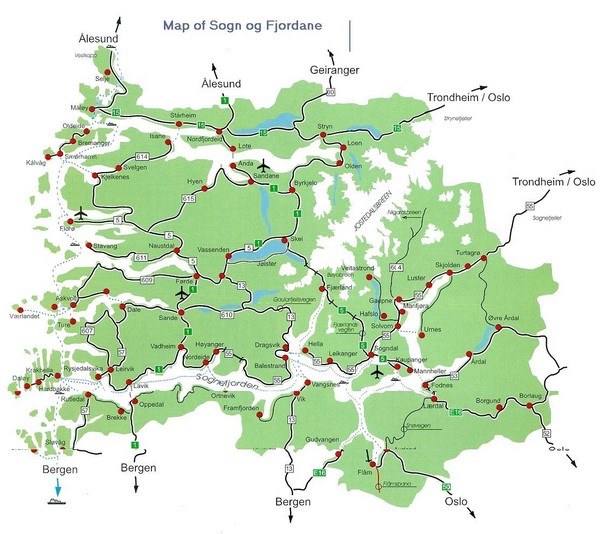
Sogn og Fjordane Region Map

near Sogn og Fjordane, Norway

View LocationView Map

61.5619581059095 6.30615234375 8 satellite
Nearest Map »  Fullsize
1113 × 990229 KBJPG

Map of the Sognefjorden, Norway region

From vesledaniel.no

Mapophile added
Oct 30, 2009

Rating
rated 4 by 1 person

See an error? Report it.

Keywords

reference, fjord

0 Comments

New comments have been temporarily disabled.
.
See more

Nearby Maps

Gloppen Town Map

Gloppen Town Map

Topo map of Gloppen, Norway

18 miles away

Near Gloppen, Norway
Keywords: reference, topo, town
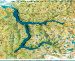
Geiranger Fjord Map

Geiranger Fjord Map

51 miles away

rated 4 by 1 person
Keywords: reference
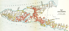
Alesund in 1911 Map

Alesund in 1911 Map

63 miles away

Keywords: history, goodmat
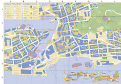
Alesund Town Map

Alesund Town Map

Map of Alesund, Norway town center. Shows tourist points of interest. Inset shows location on...

63 miles away

rated 3 by 1 person
Near Alesund, Norway
Keywords: tourism, town, island
Hafjell Ski Trail Map

Hafjell Ski Trail Map

Trail map from Hafjell.

64 miles away

Near Håfjell, 6927 Solund, Norway
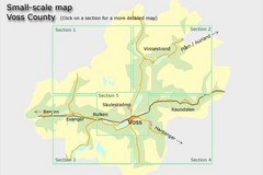
Voss County, Norway Region Map

Voss County, Norway Region Map

65 miles away

Near Voss, Norway
See more