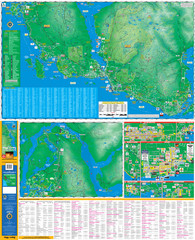
Lower Sunshine Coast Recreation Map
near Sechelt, BC
View Location
Recreation map of the Lower Sunshine Coast in BC. Shows hiking trails, mountain biking trails, kayaking and canoeing routes, diving and fishing spots, and other recreational activities.
Tweet
See an error? Report it.
Keywords
recreation, tourism, trails, kayaking, canoeing, fishing, diving, mountain biking, road biking, camping, topo, elevation See more
 See more
Nearby Maps

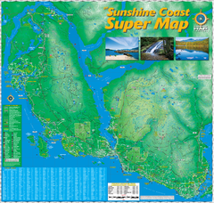
Sunshine Coast Super Map
Sunshine Coast Super Map Poster. 44" X 42". Also Available in folded version.
4 miles away

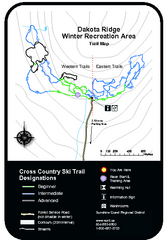
Dakota Ridge Ski Trail Map
Trail map from Dakota Ridge, which provides nordic skiing. This ski area has its own website.
8 miles away
Near British Columbia, Canada

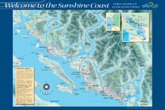
Sunshine Coast Recreation Map
Recreation map of the Sunshine Coast in BC. Shows trails for hiking (in yellow) and mountain...
9 miles away
Near Sunshine Coast, BC

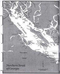
Northern Strait of Georgia Map
10 miles away
Near Strait of Georgia, BC

 click for
 Fullsize


0 Comments
New comments have been temporarily disabled.