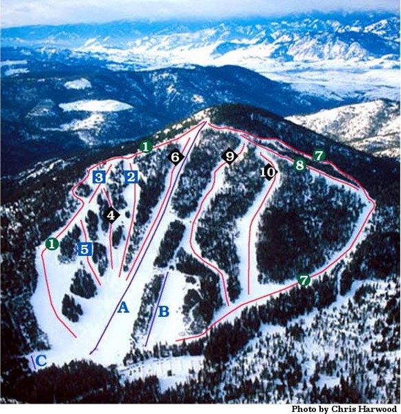
Loup Loup Ski Bowl Ski Trail Map
near Washington, United States
View Location
Trail map from Loup Loup Ski Bowl, which provides downhill, night, and nordic skiing. It has 2 lifts servicing 10 runs; the longest run is 3218.687897002'. This ski area opened in 1969, and has its own website.
See more
 See more
Nearby Maps

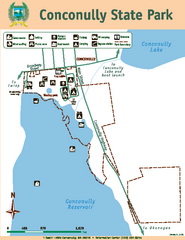
Conconully State Park Map
Map of park with detail of trails and recreation zones
13 miles away
Near 1 South Lottie, Conconully, WA 98819

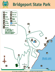
Bridgeport State Park Map
Map of park with detail of trails and recreation zones
30 miles away
Near Half Sun Way, #10 Bridgeport, WA 98813

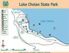
Lake Chelan State Park Map
Map of island with detail of trails and recreation zones
38 miles away
Near 7544 South Lakeshore Rd, Chelan, WA

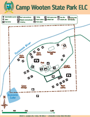
Camp Wooten State Park Map
Map of park with detail of trails and recreation zones
39 miles away
Near 20530 S. Lakeshore Dr, Chelan, WA 98816

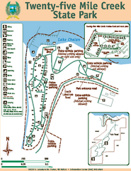
Twenty-Five Mile Creek State Park Map
Map of park with detail of trails and recreation zones
40 miles away
Near 20530 S. Lakeshore Rd, Chelan, WA

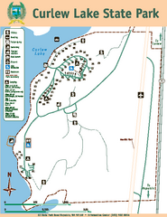
Curlew Lake State Park Map
Map of park with detail of trails and recreation zones
50 miles away
Near 62 State Park Road, Republic, WA 99166

 click for
 Fullsize

0 Comments
New comments have been temporarily disabled.