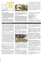
Camp Arrowhead Map
near Lake Springfiled, Springfield, MO, US
See more


 See more
Nearby Maps

Wilson's Creek National Battlefield Official...
Official NPS map of Wilson's Creek National Battlefield in Missouri. Open Daily, except...
6 miles away
Near Wilson's Creek, Missouri

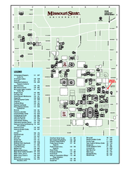
Missouri State University Map
Missouri State University Campus Map. All buildings shown.
7 miles away
Near Springfield, Missouri

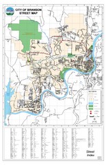
Branson Street Map
Street map of Branson, Missouri. With street index.
33 miles away
Near Branson, Missouri

Eureka Springs West Tourist Map
Tourist map of Eureka Springs West on Beaver Lake in Eureka Springs, Arkansas. Shows points of...
57 miles away
Near Eureka Springs, Arkansas

Bull Shoals White River State Park Map
Lake Map of Bull Shoals White River State Park
58 miles away
Near Bull Shoals, Arkansas

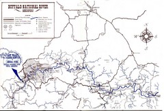
Buffalo National River Guide Map
61 miles away
Near Harrison, Arkansas

 click for
 Fullsize


0 Comments
New comments have been temporarily disabled.