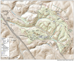
Lafayette Reservoir Recreation Area Map
near Lafayette Reservoir Recreation Area, California
See more
 See more
Nearby Maps

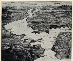
1936 San Francisco Bay Area Map Part 1
Guide to the San Francisco Bay Area in 1936, hand drawing over photograph
3 miles away
Near San Francisco Bay Area, CA, US

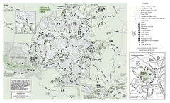
Briones Regional Park Trail Map
Trail map of Briones Regional Park in East Bay.
4 miles away
Near Briones Regional Park

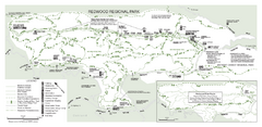
Redwood Regional Park Map
Trail map of Redwood Regional Park in Oakland, California. Shows hiking, horse, and bike trails.
5 miles away
Near Redwood Regional Park, Oakland, California

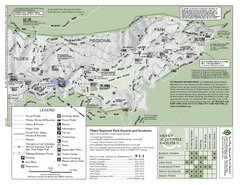
Tilden Regional Park Map - South
5 miles away
Near Tilden Regional Park

Joaquin Miller Park Map
Trail map of Joaquin Miller Park in Oakland, California. 500 acre park 9 miles from downtown...
5 miles away
Near Joaquin Miller Park, Oakland, California

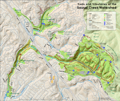
Sausal Creek Watershed Trail Map
Trail map of the Sausal Creek Watershed in Oakland, California. Show trails in Joaquin Miller Park...
5 miles away
Near Oakland, CA

 click for
 Fullsize


0 Comments
New comments have been temporarily disabled.