
 Edit this map

Lake Cumberland-Cumberland River Map
near Lake Cumberland
View Location
Lake Cumberland is formed by a dam on the Cumberland River in Section 39 of the Cumberland River Guidebook. This dam has no lock so traveling boaters must portage around the dam.
Tweet
See an error? Report it.
Keywords
recreation, cumberland river, river, boating, charts, canoe, kayak, rivers, kentucky, tennessee, lake cumberland
 See more

Nearby Maps
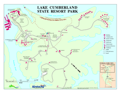
Lake Cumberland State Resort Park Map
Map of trails and facilities for Lake Cumberland State Resort Park.
3 miles away
Near jamestown, KY
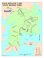
Dale Hollow Lake State Park Map
Map of trails and facilities of Dale Hollow Lake State Park.
19 miles away
Near burkesville, ky
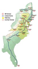
Linehaul Service Area Map
Service Area Map of Linehaul Surface Transportation
21 miles away
Near East Coast, US
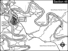
Burnside, KY-Cumberland River Map
Burnside, Kentucky is located at the fork of the Cumberland River and the South Fork. This is...
29 miles away
Near burnside, ky
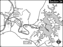
Celina, TN Dale Hollow Lake-Cumberland River Map
Celina Tennessee is the location for the head of navigation for the Cumberland River at the fork of...
31 miles away
Near celina, tn
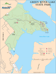
Green River Lake State Park Map
Map of trails and facilities in Green River Lake State Park.
31 miles away
Near Campbellsville, KY

 See more


 Explore Maps
 Map Directory
 click for
 Fullsize

0 Comments
New comments have been temporarily disabled.