Markle, IN Wabash River rapids Map
near Markle, IN
View Location
This is a page from the Wabash River Guidebook. The map shows important information for boaters and those traveling along the river roads
See more
 See more
Nearby Maps

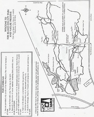
Fox Island Trail Map
Fox Island County Park trail map
15 miles away
Near 7324 Yohne Rd, Fort Wayne, IN 46809

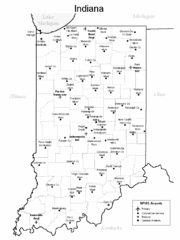
Indiana Airports Map
23 miles away
Near Inidana

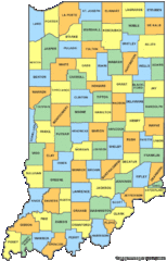
Indiana Counties Map
23 miles away
Near Indiana

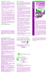
Chain O' Lakes State Park, Indiana Site Map
36 miles away
Near Chain O' Lakes state park, Indiana

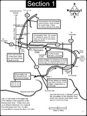
Fort Recovery, OH & beginning of the Wabash...
This is a page from the Wabash River Guidebook. The map shows important information for boaters and...
40 miles away
Near Fort Recovery, OH

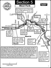
Muncie, IN White River West Fork Map
This is a page from the White River Guidebook. The map shows important information for boaters and...
43 miles away
Near Muncie, IN

 click for
 Fullsize

0 Comments
New comments have been temporarily disabled.