Rennes Street Map
near Rennes, France
View Location
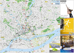
Street map of the city center of Rennes, France. Shows building names and parking. Some points of interest highlighted.
See more
 See more
Nearby Maps

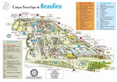
Campus Scientifique de Beaulieu Map
University of Rennes Science campus map.
2 miles away
Near 263, avenue du général Leclerc...

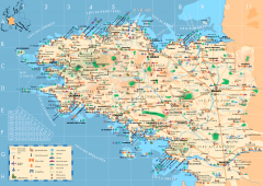
Brittany Tourist Map
Tourist map of province of Brittany in France. Shows ports, cathedrals, churches, chateaus, forts...
54 miles away
Near Saint-Caradec, France

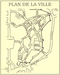
Vannes Map
59 miles away
Near Vannes, France

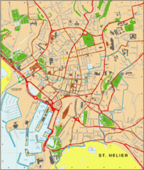
St. Helier Map
77 miles away

Brittany region Map
77 miles away
Near Brittany, fr

 click for
 Fullsize

0 Comments
New comments have been temporarily disabled.