Wapiti Valley Ski Trail Map
near Saskatchewan, Canada
View Location
Trail map from Wapiti Valley, which provides downhill skiing. This ski area has its own website.
See more
 See more
Nearby Maps

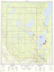
Prince Albert National Park Topo Map
Topographical map of Prince Albert National Park in Saskatchewan, Canada. From atlas.nrcan.gc.ca...
93 miles away
Near Nesslin Lake, Canada

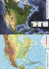
North America Satellite Relief Pair Map
A satellite image of North America twinned with a relief (or physical) representation of the same...
95 miles away
Near North America

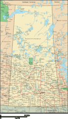
Saskatchewan Overview Map
Overview map of the Canadian province of Saskatchewan.
101 miles away
Near Saskatchewan

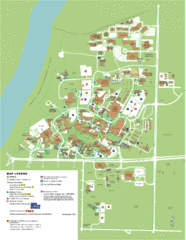
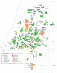
University of Saskatchwan Campus Map
Campus Map of the University of Saskatchwan in Canada. Includes all buildings and detailed parking...
118 miles away
Near Saskatoon, Canada

University of Saskatchewan Campus Map
Campus map of the University of Saskatoon in Saskatoon, Saskatchewan, Canada. Shows all buildings...
118 miles away
Near Saskatoon, Saskatchewan

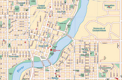
Saskatoon, Saskatchewan Tourist Map
120 miles away
Near Saskatoon, Saskatchewan

 click for
 Fullsize

1 Comments
strange choice to use green as the color for ski trails... makes it seem like a summer map