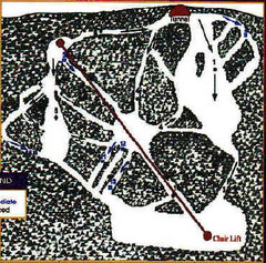
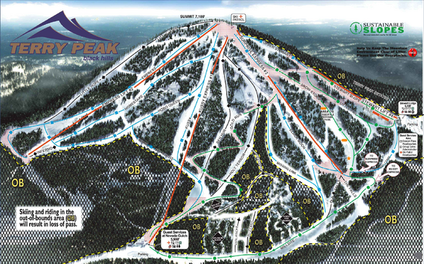
Terry Peak Ski Area Ski Trail Map
near Lead, South Dakota, United States
See more


 See more
Nearby Maps

Mystic Miner Ski Resort at Deer Mountain West...
Trail map from Mystic Miner Ski Resort at Deer Mountain.
2 miles away
Near Lead, South Dakota, United States

Black Hills Map
21 miles away
Near Black Hills

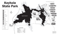
Keyhole State Park Map
Keyhole State Park is located on the western edge of the famed Black Hills, between Sundance and...
30 miles away
Near Keyhole State Park, Wyoming

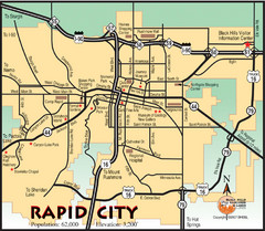
Rapid City, South Dakota City Map
35 miles away
Near Rapid City, South Dakota

Black Hills National Forest Park Map
39 miles away
Near custer, North Dakota

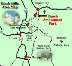
Black Hills Area Map
41 miles away
Near Custer

 click for
 Fullsize

0 Comments
New comments have been temporarily disabled.