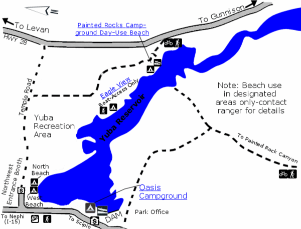
Yuba State Park Map
near Yuba, utah, usa
View Location
The sprawling waters of Yuba State Park provide a variety of recreation opportunities for visitors. Warm water and sandy beaches, along with nearby off-highway vehicle riding areas, lure visitors during summer months. One of the few state parks with boat-in camping, Yuba is very popular with water recreationists.
See more
 See more
Nearby Maps

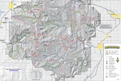
Utha Arapeen OHV Trail System- South Map
Utah Arapeen OHV Trail System map. Located near the towns of Fairview, Ephraim, and Manti, Utah.
26 miles away
Near Utah

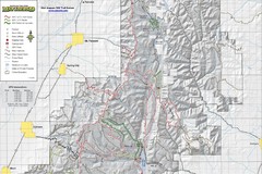
Utah Arapeen OHV Trail System- North Map
The Utah Arapeen OHV Trail System located in near the Towns of Fairview, Ephraim, and Mant, Utah.
31 miles away

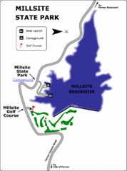
Millsite State Park Map
Camp in the quiet campground, and boat and fish on the blue waters of Millsite Reservoir. Play 18...
42 miles away
Near Millsite Reservoir, UT, USA

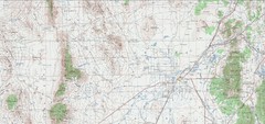
Delta Quad Sheet Detail 1972 Map
44 miles away
Near delta utah

Utah Airports Map
44 miles away
Near Utah

 click for
 Fullsize

0 Comments
New comments have been temporarily disabled.