Edit this map

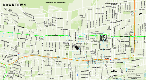
Downtown Montreal Map

near Montreal

View LocationView Map

45.4938337400922 -73.5649681091309 13 satellite
Nearest Map »  Fullsize
436 KBPDF

Street map of central Montreal. Shows access to the metro and commuter train

Created 4/23/2008
From tourisme-montreal.org

Added on
Mar 1, 2009

Rating
rated 1 by 1 person

See an error? Report it.

Keywords

reference, jeanne, 1255, mance, downtown, street, train, street, city, metro, intercontinental, montreal, intercontinental, montreal, queen, elizabeth, hotel

0 Comments

New comments have been temporarily disabled.
See more

Nearby Maps

montreal Downtown Map

montreal Downtown Map

less than 1 mile away

Near montreal
Keywords: other, hyatt, hotel
Old Montreal and Old Port Bike Map

Old Montreal and Old Port Bike Map

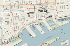
Bike route map of Old Montreal and Old Port area

less than 1 mile away

Near Montreal
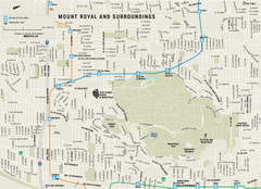
Mount Royal and Surroundings Map

Mount Royal and Surroundings Map

1 mile away

Near Mount Royal, Montreal
Keywords: reference, city, street
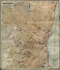
Antique map of Montreal from 1894

Antique map of Montreal from 1894

"Montreal" from Baedeker, Karl. The Dominion of Canada with Newfoundland and an Excursion...

2 miles away

Near papineau square, montreal, quebec
Plateau Mont-Royal Map

Plateau Mont-Royal Map

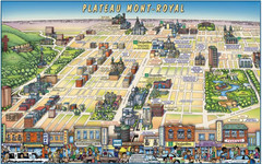
Pictorial view of Plateau Mont-Royal

2 miles away

Near montreal
Keywords: tourism
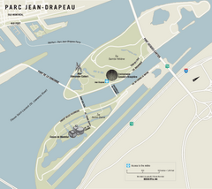
Parc Jean Drapeau Map

Parc Jean Drapeau Map

Park map of Parc Jean Drapeau in the St. Lawrence River, Montreal

2 miles away

rated 3 by 1 person
Near Parc Jean Drapeau, Montreal
See more