Edness Kimball Wilkins State Park Map
near Edness K Wilkins State Park, Wyoming
View Location
Edness K. Wilkins State Park is a serene day-use park located 6 miles east of Casper off Interstate 25. visitor can utilize picnic tables, grills, group shelters, playgrounds and a launching ramp for canoes or rafts. The handicapped accessible fishing pier – the only one like it in the state – has become one of the finest amenities provided to visitors. An additional 2.8 miles of handicapped accessible hard-surfaced paths provide visitors with an opportunity to view some of the best wildlife in the area. Anglers can try their luck fishing in the North Platte River. Swimmers can take a refreshing dip at the park swimming area.
Nearby Maps
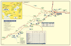
Casper, Wyoming City Map
8 miles away
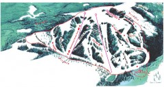
Hogadon Ski Area Trail Map
Ski trail map of Hogadon ski area, located on Casper Mountain
11 miles away
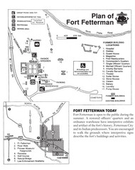
Fort Fetterman State Historic Site Map
Fort Fetterman, located approximately 11 miles northwest of Douglas. The fort was established as a...
34 miles away
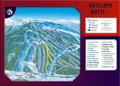
Antelope Butte Ski Area Ski Trail Map
Trail map from Antelope Butte Ski Area.
58 miles away
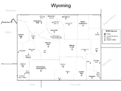
Wyoming Airports Map
58 miles away
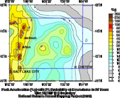
Seismic Hazard Map of Wyoming
Seismic Hazard map of probable earthquake activity for Wyoming.
58 miles away

 click for
 Fullsize


0 Comments
New comments have been temporarily disabled.