Edit this map

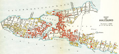
Alesund Town Map

near Alesund, Norway

View LocationView Map

62.4724774308606 6.15534782409668 15 satellite
Nearest Map »  Fullsize
1745 × 1221910 KBJPG

Map of Alesund, Norway town center. Shows tourist points of interest. Inset shows location on island.

Created 2009
From norge.dk

Mapophile added
Oct 30, 2009

Rating
rated 3 by 1 person

See an error? Report it.

Keywords

tourism, town, island

0 Comments

New comments have been temporarily disabled.
.
See more

Nearby Maps

Alesund in 1911 Map

Alesund in 1911 Map

less than 1 mile away
Keywords: history, goodmat
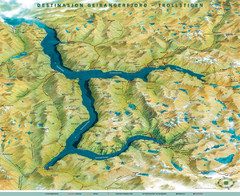
Geiranger Fjord Map

Geiranger Fjord Map

22 miles away

rated 4 by 1 person
Keywords: reference
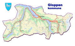
Gloppen Town Map

Gloppen Town Map

Topo map of Gloppen, Norway

45 miles away

Near Gloppen, Norway
Keywords: reference, topo, town
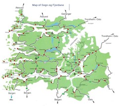
Sogn og Fjordane Region Map

Sogn og Fjordane Region Map

Map of the Sognefjorden, Norway region

63 miles away

rated 4 by 1 person
Near Sogn og Fjordane, Norway
Keywords: reference, fjord
Oppdal Geologic Map

Oppdal Geologic Map

Map of geology around Oppdal, Norway

93 miles away

rated 3 by 1 person
Near Oppdal, Norway
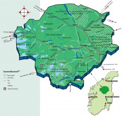
Nasjonalparkriket National Park Region Map

Nasjonalparkriket National Park Region Map

The national parks region "Nasjonalparkriket" is centrally located between the cities of...

97 miles away

rated 5 by 1 person
Near Storrvik, Norway
See more