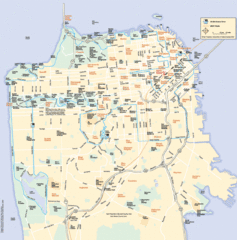
San Francisco Neighborhood Map
Neighborhood map of San Francisco, CA. Shows 49 mile scenic drive.
Near San Francisco, CA
1142 × 1158•373 KB•GIF
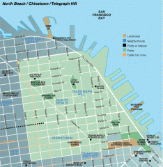
North Beach, Chinatown, Telegraph Hill map
Tourist map of North Beach, Chinatown, and Telegraph Hill in San Francisco
Near telegraph hill, san francisco
756 × 777•105 KB•GIF
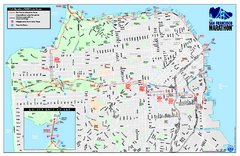
San Francisco 2009 Marathon Map
Guide to the 2009 San Francisco Marathon and Half Marathon
Near San Francisco, CA, US
533 KB•PDF

1852 San Francisco Map
Guide to San Francisco, prior to 1852
Near San Francisco, CA, US
2120 × 1695•1.3 MB•JPG

1895 San Francisco Bay Area Map
Guide to the San Francisco Bay Area in 1895
Near San Francisco, CA, US
1337 × 1915•759 KB•JPG
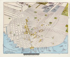
1896 San Francisco Perspective Map
Guide to historic San Francisco, in hand drawn perspective
Near San Francisco, CA, US
2536 × 2085•1.4 MB•JPG
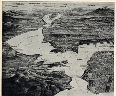
1936 San Francisco Bay Area Map Part 1
Guide to the San Francisco Bay Area in 1936, hand drawing over photograph
Near San Francisco Bay Area, CA, US
1218 × 1012•562 KB•JPG
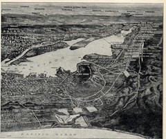
1936 San Francisco Bay Area Map Part 2
Guide to the San Francisco Bay Area, hand drawn over photograph
Near San Francisco Bay Area, CA, US
1208 × 1012•578 KB•JPG
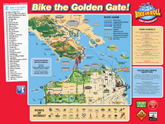
San Francisco Bike Map
Near San Francisco,
1728 × 1296•697 KB•JPG

Farwell’s Map of Chinatown in San Francisco...
This map of vice in San Francisco's Chinatown in 1885. A fascinating historical document, as...
Near 37.7947, -122.4072
7999 × 3148•4.1 MB•JPG
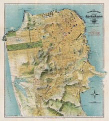
Chevalier map of San Francisco (1912)
Breathtaking map of San Francisco in 1912 by August Chevalier from the BIG Map Blog by way of DRMC.
Near San Francisco
3999 × 4412•4.8 MB•JPG
page 1 of 1

