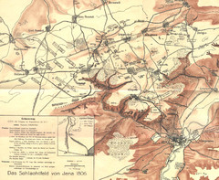
1806 Jena, Germany Map
Historic guide to Jena, Germany in German
0 miles away
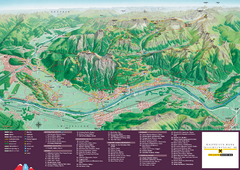
Liechtenstein Tourist Map
Tourist map of the country of Liechtenstein. Panoramic view shows all towns, trails, and mountains.
276 miles away
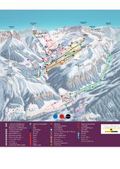
Malbun Ski Trail Map
Ski trail map of area surrounding Malbun, Liechtenstein. Also shows walking routes.
280 miles away
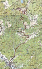
Grand Ballon Race Course Map
Topo course map of the 13.2 km running race to the summit of Grand Ballon
292 miles away
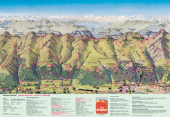
Davos Schatzalp Summer Trail Map
Trail map showing summer trails and lifts at Davos Schatzalp in Davos, Switzerland.
297 miles away

Sulden Trafoi Summer Hiking Map
Summer hiking route map of Sulden (Solda) Italy, Trafoi, Italy and Stelvio, Italy. Shows hiking...
308 miles away
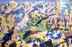
Bormio Panorama Map
Panorama tourist map of Bormio, Italy. Shows Ortler Alps in distance. From photo.
314 miles away
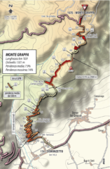
Monte Grappa Giro Stage 14 Cycling Route Map
Cycling route of the climb up Monte Grappa in Stage 14 of the 2010 Giro d'Italia. Averages 8...
352 miles away
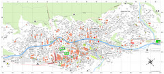
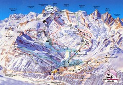
Zermatt Tourist Map
Guide to Zermatt, Switzerland
382 miles away
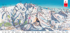
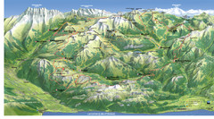
Zermatt Matterhorn Map
387 miles away
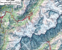
Mont Blanc topographic map
topo map of Mont Blanc, France; highest point in the Alps
417 miles away
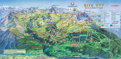
Courcheval Mountain Biking Map
Panoramic downhill mountain biking trail map of Courcheval, France in Vanoise National Park.
444 miles away
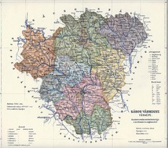
1910 Hungarian Map
Guide to historic Hungary, current Slovakia
448 miles away
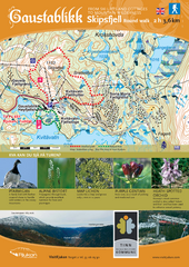
Skipsfjellet Hiking Map
Hiking trail map of Skipsfjell, Norway near Rjukan, Norway. Shows moderate 2 hour loop hike and...
629 miles away
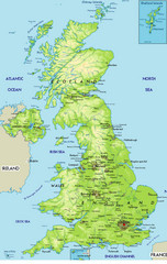
United Kingdom Physical Map
Guide to topography and physical features of Great Britain
671 miles away

Grandvalira Ski Map
Ski trail map of Grandvalira
743 miles away
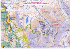
Ben Nevis Trail map
Map of the mountain track to the summit of Ben Nevis, the highest mountain in Scotland and the...
785 miles away
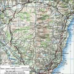
Mt Etna Topo Map
Topo map of Mount Etna in the Parco dell'Etna, Sicily. Highest mountain in Sicily at 10,902...
927 miles away
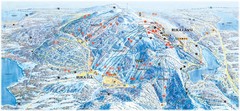
Ruka Ski Trail Map
Ski trail map of Ruka, Finland
1220 miles away
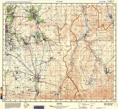
Ura Tube Region Topo Map
Topographical and road map of the Ura Tube, Tajikistan region. "Istaravshan (former Urateppe...
2833 miles away
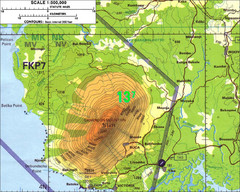
Mt Cameroon Topo Map
Topographic map of Mt. Cameroon, 13,255 feet.
3234 miles away
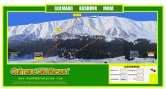
Gulmarg Trail Map
3298 miles away
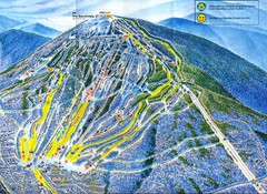
Sugarloaf Mountain Trail Map
Ski trail map
3687 miles away
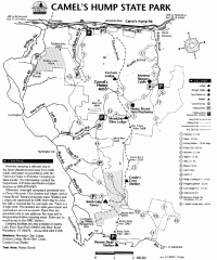
Camel's Hump State Park map
Map of Camel's Hump State Park, Vermont. Shows all hiking, snowmobile, and X-C ski trails...
3741 miles away
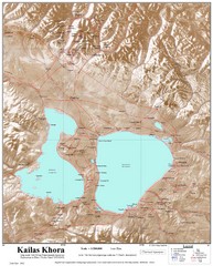
Kailash (Feng) Mountain Map
Kailash is locally more known as Kangrinboqe (Feng). It is the highest mountain in the western part...
3752 miles away
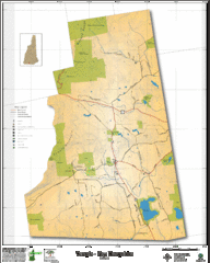
Temple NH Topo Map
Topographical map of Temple, NH area. Shows all roads and points of interest.
3770 miles away
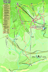
Killington Hiking Trail Map
Hiking trail map of Killington Ski Area summer trails. Shows life zones and geologic features.
3771 miles away
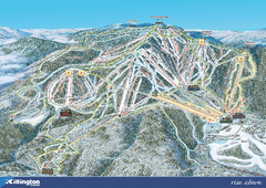
Killington Ski Trail Map 2008
Ski trail map of Killington ski area as of 2008
3771 miles away
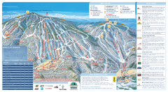
Okemo Ski Trail Map
Ski trail map of Okemo ski area. A James Niehues creation.
3778 miles away
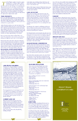
Mt. Pisgah Map - Northboro, Berlin, Boylston Mass
3782 miles away
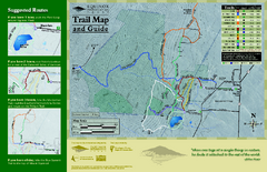
Equinox Preservation Trail map
Trail map of the Equinox Preservation Trust in Manchester, VT. The Equinox Preservation is over...
3803 miles away
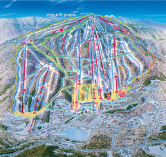
Mount Snow Ski Trail Map - main face
Trail map of main face of Mt Snow ski area near Wilmington, Vermont
3804 miles away
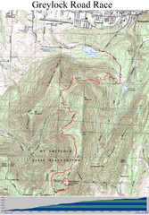
Mt. Greylock Road Race Course Map
Course map of the annual Mount Greylock Road Race. 8 Miles (uphill). Start/Finish: Mt. Williams...
3827 miles away
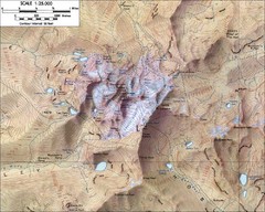
Mt. Kenya Topo Map
Topographical map of Mt. Kenya, the second highest mountain in Africa at 17058 ft
3843 miles away
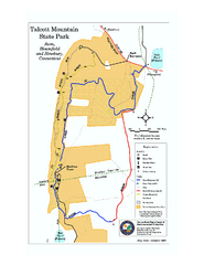
Talcott Mountain State Park map
Trail map of Talcott Mountain State Park in Connecticut.
3851 miles away
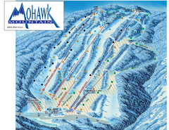
Mohawk Mountain Ski Trail Map
Ski trail map of Mohawk Mountain ski area
3871 miles away
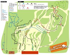
Hunter Mountain Bike Park Map
Map of bike trails in park
3889 miles away
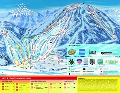
Hunter Mountain Trail Map
3890 miles away


 Explore Maps
 Map Directory
