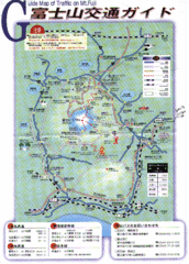
Mt. Fuji Road and Trail Map
Guide Map of Traffic on Mt. Fuji
0 miles away
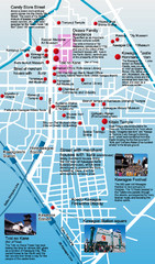
Kawagoe Tourism Map
This map marks points of interest including temples and museums.
57 miles away
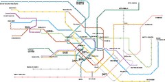
Tokyo Metro Map
Simple and clear map of metro lines in Tokyo.
58 miles away
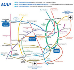
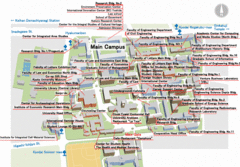
Ookayama Campus Map
This is a guide map of transportation and surrounding area of Ookayama, Suzukakadei, and Tamachi...
58 miles away
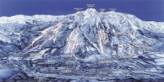
Myoko Ski Area Map
Map showing trail and resort location of this amazing Japanese ski resort.
58 miles away
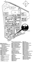
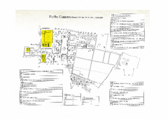
Saitama University Map
Descriptive map and key for this small school.
62 miles away
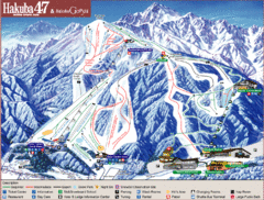
Hakuba Ski Trail Map
Easy to read map and key to this fun ski resort.
104 miles away
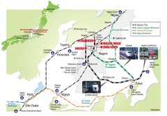
Hakuba Valley Map
The Hakuba Valley is located in the "heart" of Japan, a 3 hour scenic rail journey from...
104 miles away
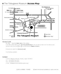
Tokugawa Museum Access Map
The Tokugawa Museum was established by the Suifu-Meitokukai Foundation under the guidance of Duke...
118 miles away
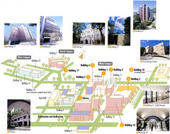
Konan University Campus Map
This is a clear map of this small campus located at the foothills of the Rokko Mountains.
206 miles away
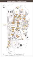
Wakayama University Campus Map
Large school map. Wakayama University was developed to train students to become useful to the...
217 miles away
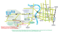
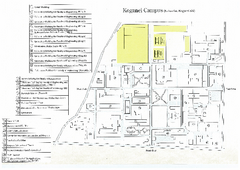
Kawauchi University Map
Simple map of this university.
232 miles away
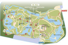
Ritsurin Park Map
Ritsurin Park is one of the most famous and beautiful parks in Japan.
275 miles away
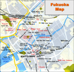
Fukuoka Hotel Map
Hotels and roads are marked on this small map.
491 miles away
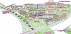
Kyushu Sangyo University Map
This is a clear map of Kyushu Sangyo University, a private school. It currently has twenty...
491 miles away
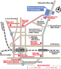
Muroran Institute of Technology Campus Map
Simple and clear map of this small campus.
497 miles away
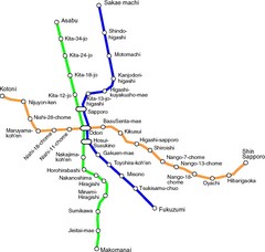
Sapporo Metro Map
Simple map of Sapporo's metro system.
550 miles away
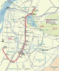
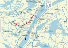
Nanjing Metro Map
Clear map marking Nanjing's metro stops and routes.
1168 miles away
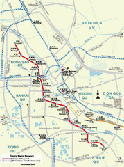
Tianjin Metro Map
Clear map marking metro stations and surrounding area.
1208 miles away
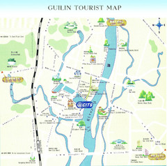
Guilin Tourist Map
Guilin Tourist Map, Guilin maps, maps of Guilin
1828 miles away
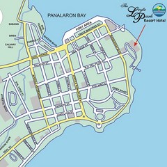
Tacloban CIty Map
This map clearly marks the road system of Tacloban.
1879 miles away
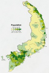
South Vietnam Population Map
Map marking population according to persons per square mile.
2398 miles away
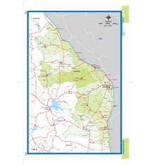
Nakhonphanom, Thailand Map
2435 miles away
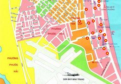
Nha Trang Hotel Map
Streets, roads and hotels are marked on this large map.
2442 miles away
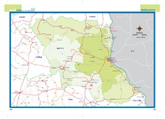
Mukdahan, Thailand Map
2475 miles away
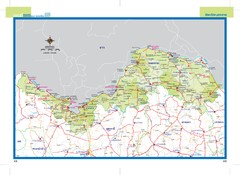
Nongkhai, Thailand Map
2478 miles away
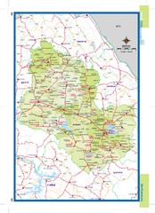
Sakonnakhon, Thailand Map
2483 miles away
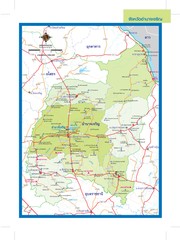
Amnatcharoen, Thailand Map
2490 miles away
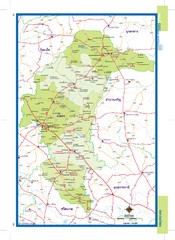
Yasothon, Thailand Map
2500 miles away
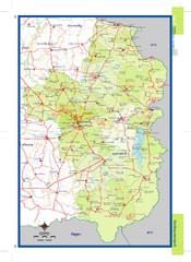
Ubonratchathani, Thailand Map
2504 miles away
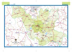
Udonthani, Thailand Map
2519 miles away
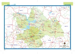
Kalasin, Thailand Map
2521 miles away
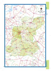
Roiet, Thailand Map
2544 miles away
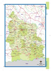
Sisaket, Thailand Map
2555 miles away
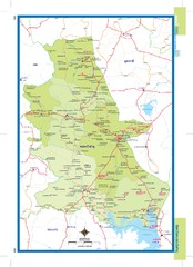
Nongbualamphu, Thailand Map
2562 miles away
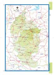
Mahasarakham, Thailand Map
2571 miles away


 Explore Maps
 Map Directory
