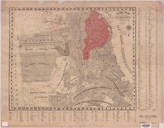
1907 San Francisco Earthquake Map
Map of areas destroyed by fire after 1906 earthquake
0 miles away
Near San Francisco, CA, US
5710 × 4446•4.0 MB•JPG
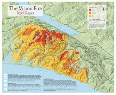
Point Reyes Vision Fire Map
Map of the burn intensity of the 1995 Vision Fire in Point Reyes National Seashore.
31 miles away
Near Point Reyes, CA
1000 × 819•206 KB•JPG
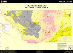
Fire Hazard Severity Zones, Kern County...
Fire Hazard Severity Zones, Kern County California: Local Responsibility Area
252 miles away
Near Bakersfield, Ca.
3311 × 2414•1.8 MB•JPG

Fire History of San Diego County Map
Fire History of San Diego County from 1900 to 1997 marked in color by years burned.
458 miles away
Near San Diego, ca
5356 × 3356•2.4 MB•JPG
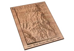
Waldo Canyon Fire Area Map
951 miles away
Near Woodland Park, CO
972 × 666•127 KB•JPG
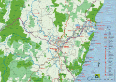
Clarence Valley Tourist Map
Detailed map of the Clarence Valley in New South Wales, Australia. Shows major and minor roads...
7182 miles away
Near Grafton, Australia
2480 × 1754•730 KB•GIF
page 1 of 1


 Explore Maps
 Map Directory
