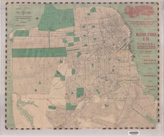
1905 San Francisco Street Map
Pre earthquake map of San Francisco, with several types of street cars and turnaround locations
0 miles away
Near San Francisco, CA, US
5117 × 4258•3.7 MB•JPG

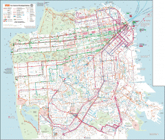
San Francisco Muni system map
Transit Muni system map shows all bus, subway metro, cable car, and streetcar routes.
less than 1 mile away
Near San Francisco, CA
2128 × 1797•810 KB•GIF
page 1 of 1


 Explore Maps
 Map Directory
