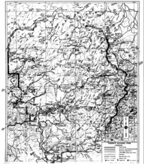
1931 Yosemite National Park Map
Yosemite National Park Map with trails and elevations
0 miles away
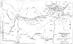
Yosemite Valley Automobile Guide Map 1963
Yosemite Valley and Vicinity with Elevations
6 miles away
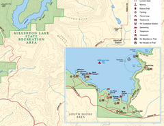
Millerton Lake State Recreation Area SE Map
Map of SE region of park with detail of trails and recreation zones
57 miles away
Millerton Lake State Recreation Area Map
Map of park with detail of trails and recreation zones
57 miles away
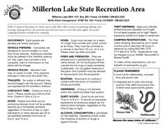
Millerton Lake State Recreation Area Campground...
Map of campground region of park with detail of trails and recreation zones
57 miles away
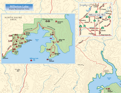
Millerton Lake State Recreation Area NW Map
Map of NW region of park with detail of trails and recreation zones
57 miles away

Millerton Lake State Recreation Area NE Map
Map of NE region of park with detail of trails and recreation zones
57 miles away
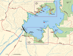
Millerton Lake State Recreation Area SW Map
Map of SW region of park with detail of trails and recreation zones
57 miles away
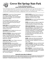
Grover Hot Springs State Park Campground Map
Map of park with detail of trails and recreation zones
62 miles away
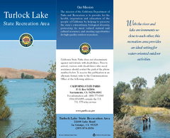
Turlock Lake State Recreation Area Map
Map of recreation area with detail of trails and recreation zones
64 miles away

Turlock Lake State Recreation Area Campground Map
Map of campground region of recreation area with detail of trails and recreation zones
64 miles away
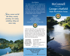
McConnell State Recreation Area Map
Map of park with detail of trails and recreation zones
75 miles away
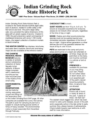
Indian Grinding Rock State Historic Park...
Map of campground region of park with detail of trails and recreation zones
76 miles away
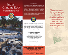
Indian Grinding Rock State Historic Park Map
Map of park with detail of trails and recreation zones
76 miles away
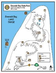
Emerald Bay State Park Campground Map
Map of park with detail of trails and recreation zones
83 miles away

Sugar Pine Point State Park South Map
Map of southern region of park with detail of trails and recreation zones
90 miles away
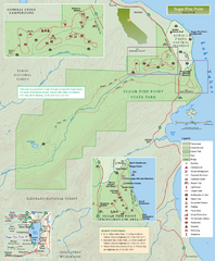
Sugar Pine Point State Park Map
Map of park with detail of trails and recreation zones
90 miles away
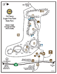
Sugar Pine Point State Park Campground Map
Map of campground region of park with detail of trails and recreation zones
90 miles away
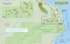
Sugar Pine Point State Park North Map
Map of northern region of park with detail of trails and recreation zones
90 miles away
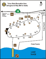
Tahoe State Recreation Area Campground Map
Map of park with detail of trails and recreation zones
99 miles away
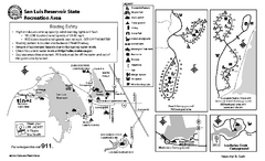
San Luis Reservoir State Recreation Area...
Map of campground region of park and reservoir with detail of trails and recreation zones
104 miles away
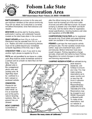
Folsom Lake State Recreation Area Campground Map
Map of park with detail of trails and recreation zones
110 miles away
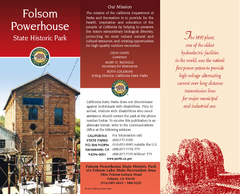
Folsom Powerhouse State Historic Park Map
Map of park with detail of trails and recreation zones
110 miles away
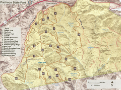
Pacheco State Park Trail Map
Map of park with details of different trails
110 miles away
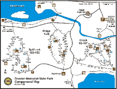
Donner Memorial State Park Campground Map
Map of park with detail of trails and recreation zones
110 miles away
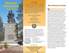
Donner Memorial State Park Map
Map of park with detail of trails and recreation zones
110 miles away

Pacheco State Park Map
Map of park with detail of trails and recreation zones
111 miles away
Henry W. Coe State Park Map
Map of park with detail of trails and recreation zones
117 miles away
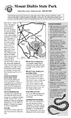
Mount Diablo State Park Campground Map
Map of park with detail of trails and recreation zones
134 miles away

Fremont Peak State Park Map
Map of park with detail of trails and recreation zones
136 miles away
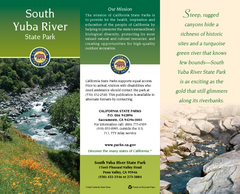
South Yuba River State Park Map
Map of park with detail of trails and recreation zones
137 miles away
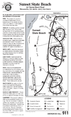
Sunset State Beach Campground Map
Map of park with detail of trails and recreation zones
147 miles away
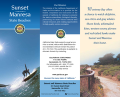
Sunset & Manresa State Beaches Map
Map of beaches and parks with detail of trails and recreation zones
147 miles away
Plumas-Eureka State Park Map
Map of park with detail of trails and recreation zones
148 miles away
Seacliff State Beach Campground Map
Map of campground region of beach and park with detail of trails and recreation zones
148 miles away
Seacliff & New Brighton State Beaches Map
Map of beaches and parks with detail of trails and recreation zones
148 miles away
New Brighton State Beach Campground Map
Map of campground region of beach/park with detail of trails and recreation zones
149 miles away
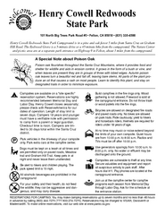
Henry Cowell Redwoods State Park Campground Map
Map of campground region of park with detail of trails and recreation zones
155 miles away
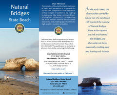
Natural Bridges State Beach Map
Map of beach and park with detail of trails and recreation zones
156 miles away
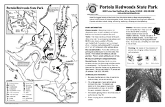
Portola Redwoods State Park Campground Map
Map of campground region of park with detail of trails and recreation zones
156 miles away


 Explore Maps
 Map Directory
