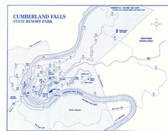
Cumberland Falls State Resort Park Map
Cumberland Falls Park Area Map
0 miles away
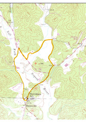
Soque River Ramble 6K Run & Walk Course...
Soque River Ramble 6K Race Course Elevation Map in Georgia.
150 miles away
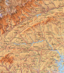
North Carolina Mountains Map
Location of the South, Brushy, and Blue Ridge Mountain ranges in Western North Carolina.
185 miles away
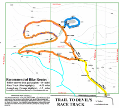
Wade Mountain Map
Recommended Bike Routes for Wade Mountain including the trail to Devil's Race Track
189 miles away
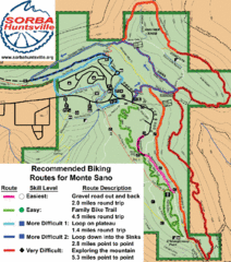
Monte Sano State Park Bike Routes Map
Recommended Biking Routes for Monte Santo with Easy to difficult routes marked.
190 miles away
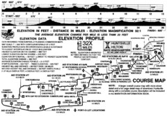
Rocket City Marathon Elevation Map
Course Map and Elevation Profile of the Rocket City Marathon in Huntsville, AL
193 miles away
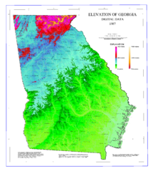
Map of Georgia Elevations
Digital elevation map of Georgia, U.S.
334 miles away
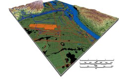
DEM SAUGET INDUSTRIAL PARK Map
OVERLAY OF TRIMBLE GPS VECTOR DATA OF SAUGET INDUSTRIAL PARK ONTO PAINTED DEM USING RGB COLOR MODEL...
341 miles away
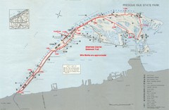
Erie Marathon Course Park Map
Map of marathon course and alternate course sidewalk trail for Erie Marathon in Presque Isle State...
431 miles away

Chesapeake Water Table Elevation Map
Water Resource Protection data for Chesapeake Bay
453 miles away
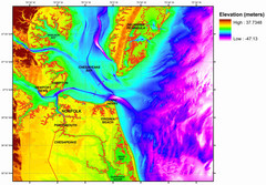
Digital Elevation Relief of Virginia Beach Map
The digital elevation model represents the bare-earth relief of the coastal zone around Virginia...
463 miles away
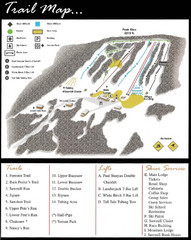
Ski Sawmill Family Resort Trail Map
Map shows trails, lifts and skier services.
476 miles away
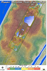
Olympic Trials Course Map
Elevation of the 2008 olympic trials marathon course in New York's Central Park.
622 miles away
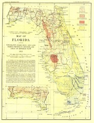
Topography of Florida Map
Topographic map of Florida that was developed in 1913. It shows the elevation changes that are...
656 miles away
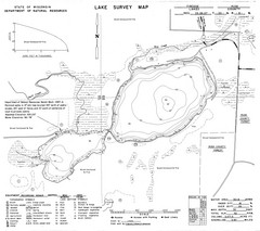
Fireside Lake Survey Map
Survey of Lake and surrounding areas done by State of Wisconsin Department of Natural Resources
689 miles away
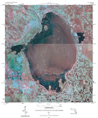
Elevation Contours of Lake Okeechobee Map
Elevation contour maps of Lake Okeechobee
718 miles away
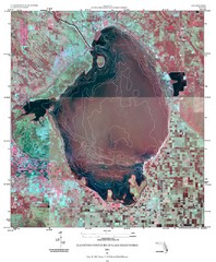
Elevation contour maps of Lake Okeechobee Map
Elevation contour maps of Lake Okeechobee
718 miles away
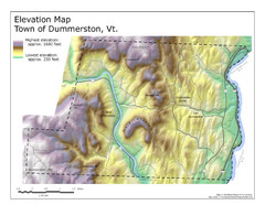
Elevation Map of Dummerston, Vermont
This Hypsometric map is a map that distinguishes elevations progression within a specific...
751 miles away
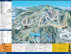
07-08 Killington Ski Trail Guide Map
Trail Map of Ski Area including lifts, runs and mountain elevation.
771 miles away
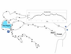
Mt. Tom road to the Pogue race course map
View Course Map and Elevations for the Mt. Tom road to the Pogue 6.1 mile run in Woodstock, VT.
780 miles away
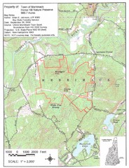
Merrimack Topo Map
A Topographical map Horse Hill Nature Preserve.
796 miles away
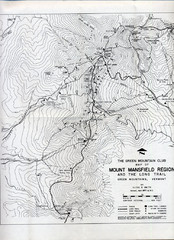
Mount Mansfield Map
Long Trail map for Green Mountains in Vermont
804 miles away
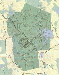
Wompatuck Park Trail Map
Map of Wompatuck Park including trails and roads and park features
809 miles away
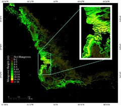
Mangrove Height Map
Map of Mangrove Forest Height was produced using the elevation data from the Shuttle Radar...
812 miles away
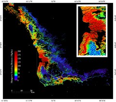
Mangrove Biomass Map
Map of Mangrove Forest Biomass was produced using the elevation data from the Shuttle Radar...
812 miles away
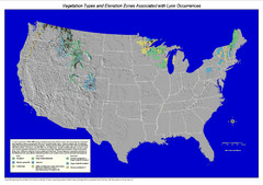
Vegetation types and elevation zones associated...
Historic Lynx Distribution Map for Lynx population from 1842 - 1998 shown on a United States map...
981 miles away
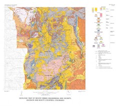
Mount Zirkel Wilderness and Vicinity Geologic Map
Geologic Map of Mount Zirkel Wilderness
1231 miles away
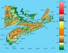
Nova Scotia Elevation Map
Nova Scotia Elevation Map with color elevation markings
1248 miles away
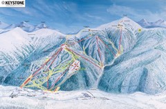
Keystone Ski Area Map
Ski trails, lifts and mountain elevations for Keystone and Bear Mountain, Colorado.
1267 miles away
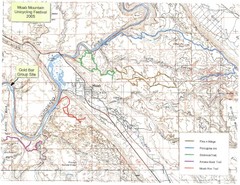
Moab Mountain Unicycling Festival Trail Map
Moab Area Topo Map with trails marked for festival
1380 miles away
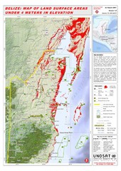
Belize Land Surface Areas Under 4 Meters Map
This map shows elevation areas in Belize under 4 meters in Red. This was the limit for the storm...
1383 miles away
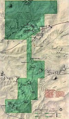
Petrified Forest National Park Map
Petrified Forest National Park Map with trails, vistiors centers and park area marked.
1425 miles away
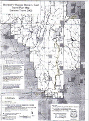
Montpelier Ranger District East Map
Map for Summer Encampment trip to Montpelier, Wyoming for Idaho Company, American Long Rifle...
1474 miles away
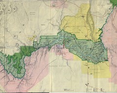
Grand Canyon National Park Map
Grand Canyon National Park including Kaibab National Forest and Coconino Plateau
1537 miles away
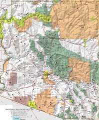
Arizona Prominance Map
Prominant peaks are marked by flags in 4 categories according to elevation.
1589 miles away
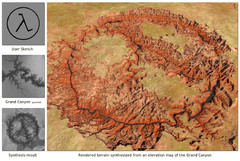
Rendered Terrain of the Grand Canyon Map
Created from Digital Elevation Models
1602 miles away
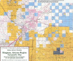
Kingman, Arizona Region Topographic Map
Elevation in qauadrangles for the Kingman, Arizona area
1657 miles away
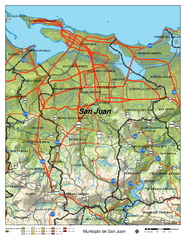
San Juan Road Map
Road map of San Juan, Puerto Rico area. Shows shaded elevation.
1688 miles away
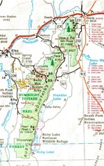
Ruby Mountains Area Map
Included are the communities of Elko, Wells, Deeth, Jiggs, Lee, Lamoille and Spring Creek. Some...
1697 miles away
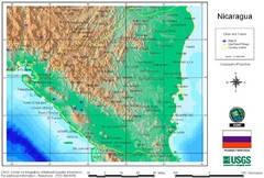
Nicaragua City and Town Elevation Map
Elevation map of Nicaragua with cities, towns, and airports detail.
1726 miles away


 Explore Maps
 Map Directory
