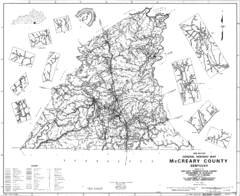
Mccreary County General Highway Map
Map of McCreary County with road, waterways and towns identified.
0 miles away
Near Mccreary County, ky
3240 × 2640•958 KB•GIF

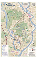
University of Maine Recreation Trails Map
Trails marked connecting two busy towns of Old Town and Orono.
1001 miles away
Near Orono, Maine
1941 × 3000•1.2 MB•JPG

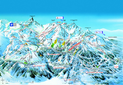
Les 3 Vallées Courchevel Detail Ski Trail Map
Trail map from Les 3 Vallées.
4530 miles away
Near Méribel, Rhône-Alpes, France
982 KB•PDF

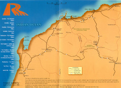
Karratha Road Map
Road Map shows all roads around Karratha, and the distances in Kilometers to other towns.
10754 miles away
Near Karratha, Australia
1710 × 1238•886 KB•JPG
page 1 of 1


 Explore Maps
 Map Directory
