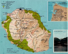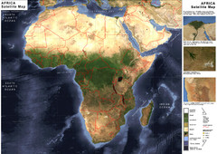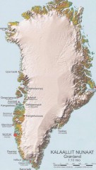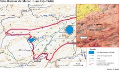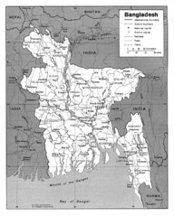
Bangladesh Map
Bangladesh Map showing cities, borders and rivers
0 miles away
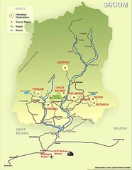
Sikkim Tourist Map
294 miles away
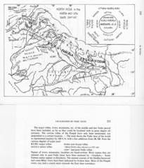
Kirata (Nepal) and North India in the middle and...
Kirata (Nepal) and North India map including tribes, rivers, mountains.
556 miles away
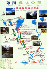
Hailuogou National Glacier Park Map
Trails, rivers and lakes.
837 miles away
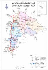
Chon Buri Tourist Map
Map of Chon Buri, Thailand showing tourist areas, roads and railways.
997 miles away
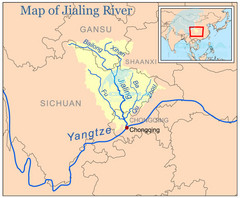
Jialing River Map
1076 miles away
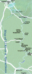
Li River and Attractions Map
1394 miles away
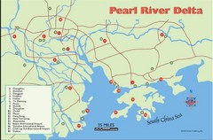
Pearl River Delta Tourist Map
Cities of the Pearl River Delta.
1493 miles away
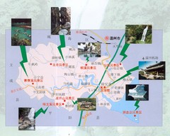
Ruian Tourist Map
Ruian tourist map. Places of interest.
1898 miles away
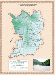
Karabakh Map
Spring Overflow of Rivers and Turbidity of the Rivers in the Nagorno-Karabakh Republic (Artsakh)
2856 miles away
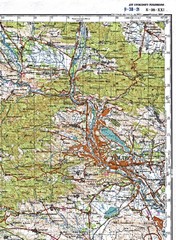
Tbilisi Topographic Map
Tbilisi Topographic Map. Note: This map is not in English.
2889 miles away
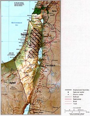
Israel Map
Map of Isreal and Surrounding areas from "Atlas of the Middle East", published in January...
3413 miles away
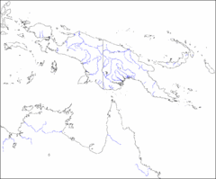
New Guinea Map
Regional Map of the Island of New
4169 miles away
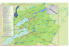
Central Norway Map
Maps covering Steinkjer - Verdal - Levanger - Inderøy in Norway. Maps show cities, rivers...
4430 miles away
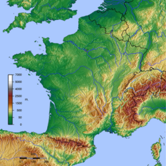
GMT France Map
Map of France made with GMT and and GTOPO30.
4973 miles away
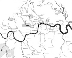
London Subterranean Rivers Map
A great help when one wants to name more than one or two rivers/streams that run through London. I...
4978 miles away
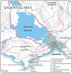
Qaqortoq City Map
Clear map and legend marking facilities, hotels, roads and more in this beautiful city.
6122 miles away
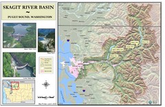
Skagit River Map
Skagit River Basin Overview Map (Pink shading is the FEMA 100 Year Flood)
7079 miles away
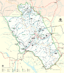
Glacier National Park Trail Map
Trails campgrounds and ranger stations.
7230 miles away
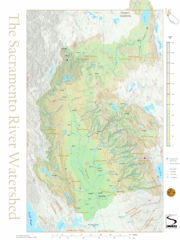
Sacramento River Watershed Map
The map shows, rivers, cities, counties, and roads surrounding the Sacramento River.
7695 miles away
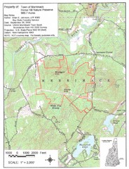
Merrimack Topo Map
A Topographical map Horse Hill Nature Preserve.
7707 miles away
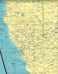
Northern California Map
Map of Northern California including cities, counties, and rivers
7746 miles away
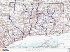
Connecticut Rivers and Coastal Paddling Map
This is a map of paddling areas for rivers and coastal kayaking. Follow the link below for...
7802 miles away
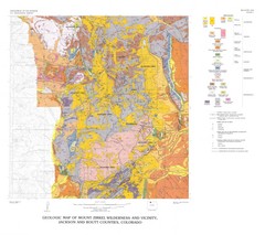
Mount Zirkel Wilderness and Vicinity Geologic Map
Geologic Map of Mount Zirkel Wilderness
7861 miles away
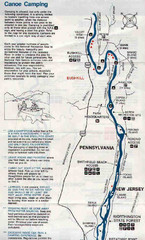
Deleware River Boat Map
7877 miles away
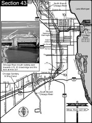
Chicago, IL Sanitary & Ship Canal/Chicago...
This is the beginning of the Illinois Waterway that connects Lake Michigan to the Mississippi River...
7915 miles away
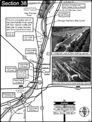
Joliet, IL Illinios river/Des Plaines River/I&...
For boating navigation and river road travel on the Illinois Waterway.
7939 miles away
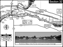
Ottawa, IL Illinois River/Fox River Map
For boating navigation and river road travel on the Illinois River. Shows confluence of the Fox...
7952 miles away
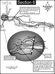
Markle, IN Wabash River rapids Map
This is a page from the Wabash River Guidebook. The map shows important information for boaters and...
7980 miles away
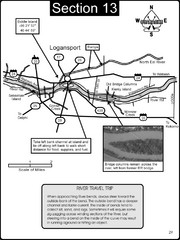
Logansport, IN Wabash River & Eel River Map
This is a page from the Wabash River Guidebook. The map shows important information for boaters and...
7988 miles away
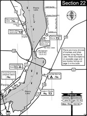
Peoria, IL Illinois River/Peoria Lake Map
For boating navigation and river road travel on the Illinois River.
7994 miles away
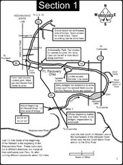
Fort Recovery, OH & beginning of the Wabash...
This is a page from the Wabash River Guidebook. The map shows important information for boaters and...
8006 miles away


 Explore Maps
 Map Directory
