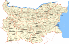
Bulgaria Cities Map
This is the map of Bulgaria with cities and towns identified.
0 miles away
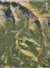
Tatras Map
The Tatras - rocks, landforms, weathering and soils field trip map with sites identified.
573 miles away
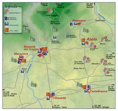
Asolo Italy Area Map
Tourist map of Asolo, Italy surroundings. Shows monuments, art centers, museums, and city walls.
704 miles away
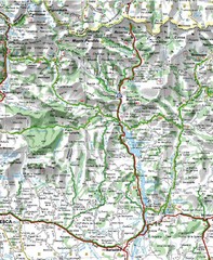
Sobrarbe Province Map
Shows Ordesa y Monte Perdido National Park and Sierra de Guara and Guara Canyons Natural Park
1291 miles away
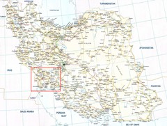
The Bakhtiari Nomads Kuch in Iran Map
Map of Iran which highlight the area of the Bakhtiari Nomads migration.
1498 miles away
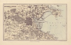
Dublin Environs Map
This is a map of Dublin surrounding areas - historical map.
1623 miles away
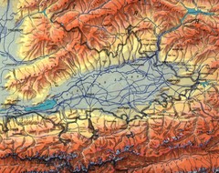
Kyrgyzstan Elevation Shaded Map
Kyrgyzstan Elevation Shaded - Note map is not in English
2500 miles away
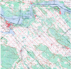
Upper Ottawa Valley, Ontario Topographic Map
Very mixed terrain, with several areas of rough, woods, water, and towns.
3585 miles away
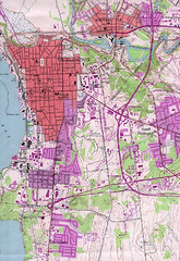
Burlington Vt 87 Map
Topographical map of the city of Burlington, Vt.
4610 miles away
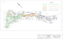
Town of Lexington Historic Districts Map
Identifies the 4 historical districts of Lexington, Massachusetts.
4617 miles away
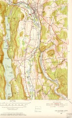
New Milford, Connecticut Map
New Milford, Connecticut topo map with roads, streets and buildings identified
4742 miles away
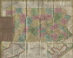
Pennsylvania Tourist Pocket Map
The map is dated 1820-31 by counties shown and comes from Anthony Finley's A New General Atlas...
4910 miles away
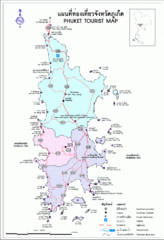
Phuket Tourist Map
Phuket, Thailand Tourist Map showing cities, tourist attractions, and roads.
4981 miles away
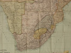
South Africa Historical Map
Bacon’s New Large Scale Map of South Africa. G. W. Bacon, London 1890. Showing all the latest...
5072 miles away
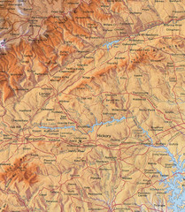
North Carolina Mountains Map
Location of the South, Brushy, and Blue Ridge Mountain ranges in Western North Carolina.
5330 miles away
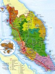
Malaysia Map
Map of Malaysia. Shows states of Malaysia, expressways, highways, railways, airports, mountains...
5342 miles away
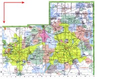
Dallas/ Fort Worth Map
Metropolitan Map of Dallas and Fort Worth. Includes highways, roads, towns and county divisions.
6088 miles away
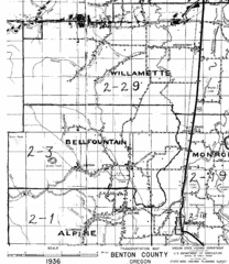
Transportaion for Benton County 1936 Map
1936 Map of Benton County, Oregon known as Muddy Area with counties, roads and towns marked
6109 miles away
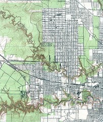
Houston Street and House level Map
Houston topo map with streets, buildings, towns
6186 miles away
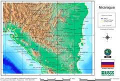
Nicaragua City and Town Elevation Map
Elevation map of Nicaragua with cities, towns, and airports detail.
6678 miles away


 Explore Maps
 Map Directory
