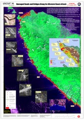
Aceh Damage Map
A detailed annotated satellite map, clearly showing the extent of the destruction along the most...
0 miles away
Near aceh, indonesia
2300 × 3300•846 KB•JPG

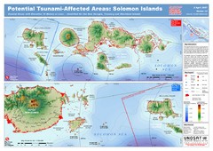
UNOSAT Solomon Islands Elevation Map
This map illustrates those areas 10 meters and less in elevation (marked in red) potentially...
4570 miles away
Near solomon islands
4546 × 3217•1.8 MB•JPEG

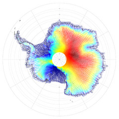
Antarctica Land and Ice Elevation Map
The colors on the map above represent ICESat’s measurements of Antarctica’s topography...
6666 miles away
Near Antartica
3081 × 3081•2.7 MB•JPG

Digital Elevation Model Satellite Tahoe Map
Digital Elevation Models
8626 miles away
Near Lake Tahoe, ca
900 × 2654•946 KB•JPG
page 1 of 1


 Explore Maps
 Map Directory
