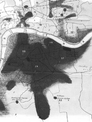
Mr. Grainger's "Cholera Map of the...
There were four districts south of the River Thames that might have interested Snow-#25, St...
0 miles away
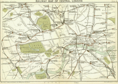
1899 London Railway Map
0 miles away
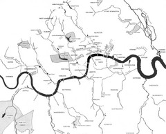
London Subterranean Rivers Map
A great help when one wants to name more than one or two rivers/streams that run through London. I...
0 miles away
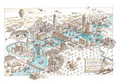
Map of London
Aerial map of London, a look at the History of London and the River Thames
0 miles away
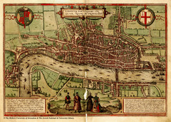
1560 London Map
Historic map of London showing city walls and farms
2 miles away
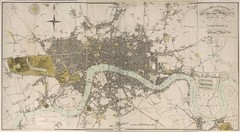
London Map 1807
1807 "London in miniature" map. Scanned.
2 miles away
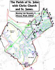
The Parish of St. John's with Christ Church...
A rough history of the Stratford, England and a continuation of the age old tradition of "...
6 miles away
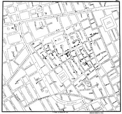
Cholera Outbreak of London Map
Map used to analyze the cholera outbreak in London, specifically South Hampton in 1853
12 miles away
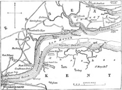
River Thames Map
Map of Thames from Gravesend to Canvey Island
26 miles away
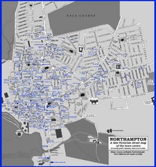
Northampton Town Map
Map of Northampton from the late Victorian period with public houses, inns, hotels, and pubs all...
61 miles away
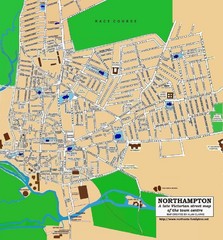
Northampton Town Map
Street map of Northampton from the late Victorian period
61 miles away

Thanet Isle Map
1809 Guide to Thanet Isle in Britain
64 miles away
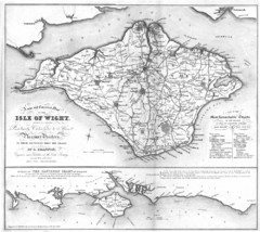
Isle of Wight Map
76 miles away
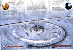
Stonehenge Brochure Map
Scan of official brochure of Stonehenge.
77 miles away
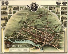
1902 Stratford-upon-Avon Map
Map of William Shakespeare's birthplace
82 miles away
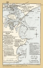
1857 Poole Harbor Map
Guide to the peninsula and improvements in the Harbor
99 miles away
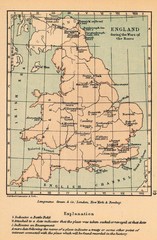
England War of the Roses Map
Guide to battle sites, encampments and treaties of the War of the Roses in England
100 miles away
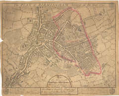
1731 Birmingham Map
Guide to historic Birmingham, UK
101 miles away
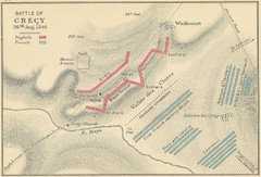
Battle of Crecy Map
Battlefield map of Crecy, France, August 28th 1346 during the Hundred Years War.
123 miles away
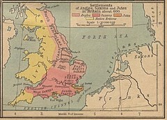
600 British Settlement Map
Map of settlements of Angels, Saxons, Jutes and Native Britons in 600
131 miles away
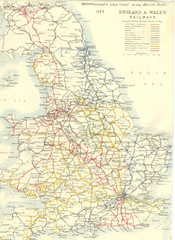
1887 - Prinicipal Railways in England and Wales...
Railways in England and Wales in 1887
162 miles away
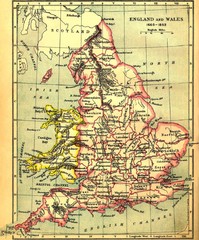
1660-1892 England and Wales Map
Guide to England and Wales from 1660-1892, showing topographic information
163 miles away
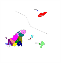
Guernsey Parish Map
Guide to the parishes of Guernsey, a British Crown Dependency in the English Channel
168 miles away
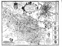
1610 Yorkshire County Historical Map
A 1610 map of Yorkshire Country in the United Kingdom
171 miles away
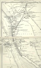
Liverpool Railway Map
Guide to historic rail lines around Liverpool
178 miles away
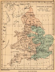
1644 England and Wales Political Map
Map showing districts held by teh King versus the Parliament during the Puritan Revolution
180 miles away
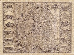
Old Maps - Wales Map
Includes illustrations of individual Welsh county towns.
185 miles away
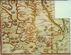
Plymouth Map 1500s
Map of Plymouth, England area in late 1500s
191 miles away
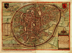
Medieval Brussels Map
200 miles away
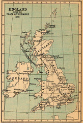
878 England Map
Guide to England after the Peace of Wedmore
204 miles away
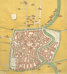
Haarlem City Map
Haarlem city center map from 1550
212 miles away
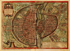
1569 Paris Map
Historic map of Paris showing city walls and farms
213 miles away
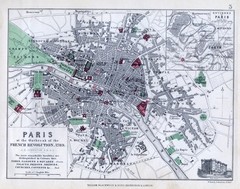
Paris Historical Map
Map of Paris at the Outbreak of the French Revolution in 1789 with colors denoting parks and places...
213 miles away
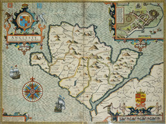
Anglesey Map
215 miles away
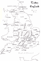
Tudor England Counties Map
Guide to the counties of England under Tudor reign
219 miles away
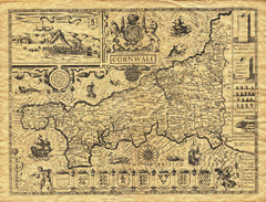
Old Maps: Cornwall Map
Map of Cornwall from The Theatre and Empire of Great Britain
221 miles away
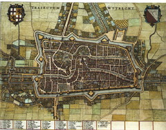
Historic map of Utrecht in 1652
228 miles away
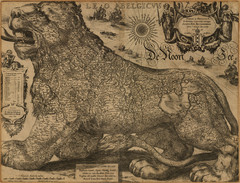
Jodocus Hondius’ Map of Belgium as a Lion...
Jodocus Hondius’ Map depicting Belgium as a Lion.
228 miles away


 Explore Maps
 Map Directory

