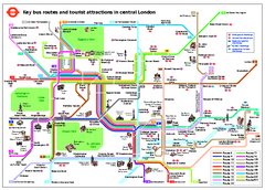
Central London Tourist and Bus map
Current Map showing all London Attractions and Bus transportation Route.
0 miles away
London Bus Route Map
0 miles away
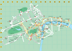
Ensignbus Sightseeing Bus Route Example Map
An example of one of many possible sightseeing routes from Ensignbus tours in London.
0 miles away
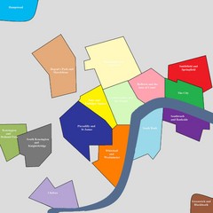
London Attraction and Tourist Map
The main attractions for sightseers in London
0 miles away
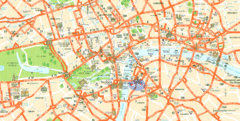
London Tourist Map
Tourist Map of London showing street level detail with tourist attractions marked.
0 miles away
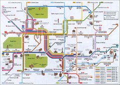
London Tourist Map
Tourist map of London, England showing key bus routes and tourist attractions.
0 miles away
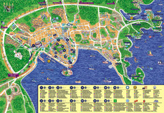
London Tourist Map
0 miles away
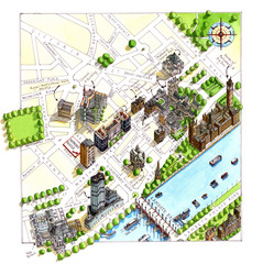
London Westminster Map
Aerial Map of Westminster london, showing the Houses of Parliament
less than 1 mile away
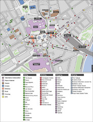
Trafalgar Square Map
less than 1 mile away
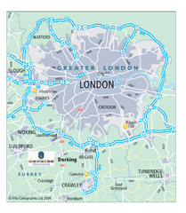
London Map
Map of London highways, roads and surrounding towns.
less than 1 mile away
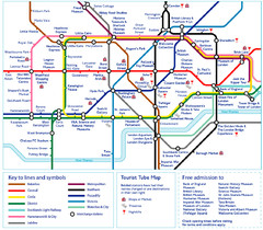
London Tourist Tube Map
London Tube Map with lots of station names replaced with tourist attractions. Key: Union Jack...
less than 1 mile away
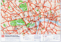
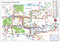
London Bus and Tourist Map
Key bus routes and tourist attractions in central London. Scanned.
less than 1 mile away
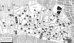
London Church Map
Map of the City of London showing 47 churches and 9 Towers
1 mile away
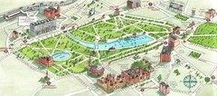
London Hyde Park map
Map of London, showing Hyde park.
2 miles away
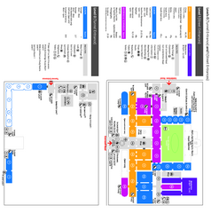
The Victoria & Albert Museum Floor plan Map
Map of The Victoria & Albert Museum in London. Shows entrances and exhibits.
2 miles away
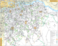
Southeast London Bus Map
2 miles away
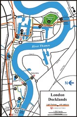
London Docklands Tourist Map
5 miles away
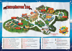
Chessington Zoo Map
13 miles away
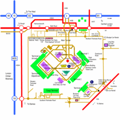
Heathrow Airport Map
14 miles away
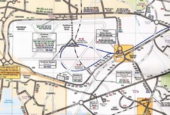
Heathrow Airport Transportation Map
14 miles away
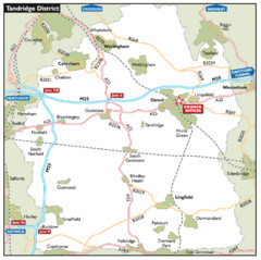
Tandridge District, England Region Map
18 miles away
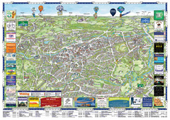
Woking Tourist Map
Tourist map of Woking, Surrey, England. Oblique/3D town map with ads.
23 miles away
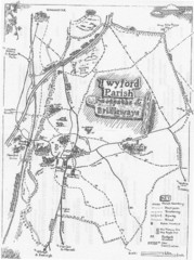
Twyford Parish Map
Footpaths and bridleways map of Twyford Parish
32 miles away

Disabled Accessible Places in Maidstone, Kent Map
A guide to places in Maidstone that are wheelchair accessible.
32 miles away
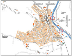
Henley-on-thames Map
Visitor Map of Henley-on-thames. Map shows location of most main roads, buildings, and parking.
34 miles away
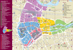
Reading Tourist Map
Tourist map of city center of Reading, England. Shows attractions and other tourist points of...
36 miles away
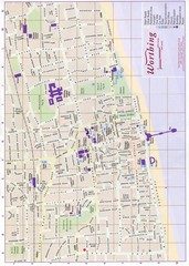
West Sussex, England Map
42 miles away
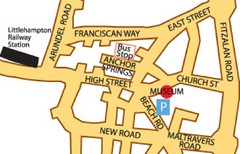
Museums in West Sussex, England Map
42 miles away
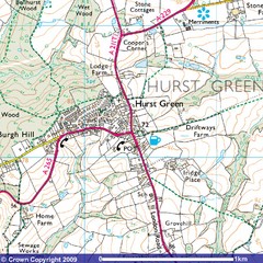
Hurst Green, England City Map
42 miles away
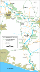
East Sussex, England City Map
43 miles away
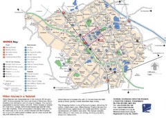
Milton Keynes Region Tourist Map
Tourist map of region around Milton Keynes, UK. Shows railway stations, out of town shopping, and...
45 miles away
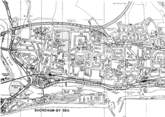
Shoreham-by-Sea, England City Map
46 miles away
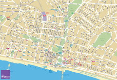
Brighton Tourist Map
Street map of Brighton, UK. Shows gay points of interest.
47 miles away
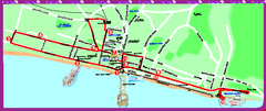
Brighton bus tour map
Brighton bus tour map - City Sightseeing
47 miles away
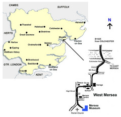
West Mersea Island Museum Map
49 miles away
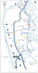
Cambridge Walking Map
Hand drawn tourist walking map of Cambridge, UK
50 miles away
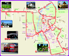
Cambridge Bus Tour Map
Cambridge Bus Tour Map - City Sightseeing
50 miles away
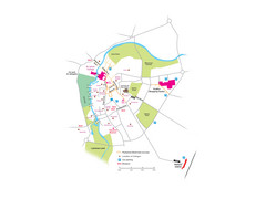
Cambridge City Centre Map
Locations and areas in Cambridge, England
50 miles away


 Explore Maps
 Map Directory
