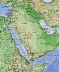
Arabia and the Red Sea Elevation Map
Pre-Islamic Arabia and the early empire elevation map
0 miles away
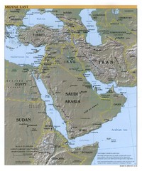
Middle East Reference Map
Reference map of Middle East with shaded relief
522 miles away
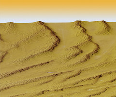
Digital Elevation Model Ataq, Yemen Map
Digital Elevation Model Ataq, Yemen Map
656 miles away
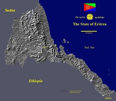
State of Eritrea Drainage and Elevation Map
Eritrea elevation map with drainage lines shown
694 miles away

Draft Elevation Map Nile Delta
Draft Elevation Map Nile Delta with contour lines
915 miles away
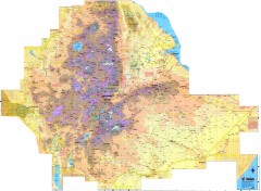
Ethiopia Elevation Map
Color coded elevation map of Ethiopia
1064 miles away
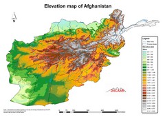
Afghanistan Elevation Map
Elevation map of Afghanistan
1532 miles away
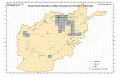
Afghanistan Shaded Relief Index Map
Index Map for the ASTER-Derived 30-Meter-Resolution Digital Elevation Models of Afghanistan.
1532 miles away
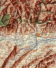
Stalinabad 1956 Map
Road Map of Area around Dushanbe formerly Stalinabad.
1722 miles away
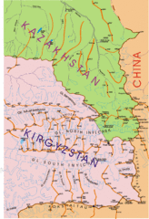
Kyrgyzstan and Central Asia Physical and...
Khan Tengri area maps
2054 miles away
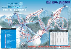
Bukovel Ski Resort Map
Map of Bukovel's slopes, lifts and resort
2055 miles away
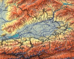
Kyrgyzstan Elevation Shaded Map
Kyrgyzstan Elevation Shaded - Note map is not in English
2088 miles away
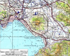
Mount Vesuvius Contour Map
Contour map of Mount Vesuvius and surrounding area. Rodad and cities also identified.
2123 miles away
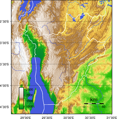
Burundi Topography Map
Color-coded physical relief map of country of Burundi
2138 miles away
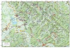
Bike Route starting in Ivanić-Grad Map
Bike route and trails through the cradle of Croatia’s oil drilling industry and the wondrous...
2199 miles away
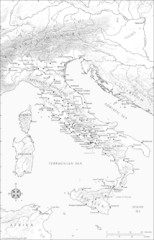
Roman Italy Map
This map depicts many of the principal sites and features of Roman Italy. It contains elevation...
2240 miles away
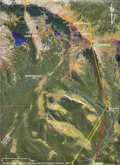
Tatras Map
The Tatras - rocks, landforms, weathering and soils field trip map with sites identified.
2273 miles away
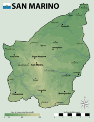
San Marino Elevation Map
Elevation map of San Marino
2305 miles away
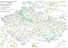
Elevation Railway Map of Czech Republic
Elevation of railways and main stations in Czech republic. Blue numbers show elevation of stations...
2393 miles away
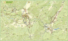
Nature Fitness Park in Kronplatz Dolomiti Map
Panoramic map of Nature Fitness Park in Dolomites. The park is very well signposted and its trails...
2423 miles away
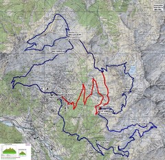
Verbier 60k Course Profile Map
Course Map and Elevation Profile for the Verbier Ultra Run 60k and 20k routes.
2600 miles away
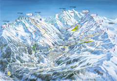
Méribel-Mottaret Ski Run Map
Ski Resort map for Méribel and Mottaret ski resorts including ski runs, lifts and mountain...
2611 miles away
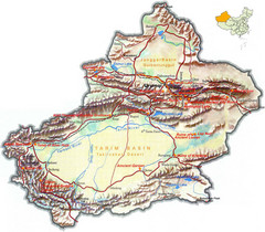
Xinjiang Region of China Tourist Map
Xinjiang, China Tourist Map showing tourist attractions, roads, cities, mountains and lakes.
2763 miles away
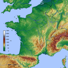
GMT France Map
Map of France made with GMT and and GTOPO30.
2828 miles away
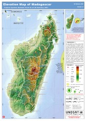
Madagascar Elevation Map
Shows color-coded elevation of island of Madagascar. Shows tropical cyclone Gamede track as of Feb...
2953 miles away
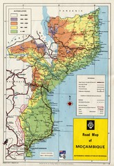
Mozambique Road Map
Shows major roads. Color-coded by elevation.
3013 miles away
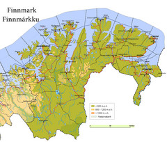
Finnmark County Map
Elevation map of Finnmark County, Norway. Color shading shows meters above sea level and national...
3276 miles away
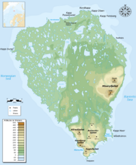
Bear Island Bjørnøya Norway Map
Elevation map of Bear Island, Norway (Bjørnøya) in the Barents Sea, the southernmost...
3623 miles away
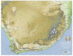
Africa South Full Map
A new relief map of Africa South showing some roads and towns and with boundaries natural replacing...
3670 miles away
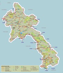
Laos Map
Map of Laos with elevations, cities and tourism information
3795 miles away
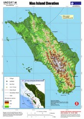
Nias Island Elevation and Earthquake Map
Elevation of Nias Island with details of March 2005 Earthquake.
3845 miles away
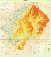
Lesotho Physical Map
Physical map of Lesotho. Shaded by elevation.
3866 miles away
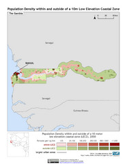
The Gambia 10m LECZ and Population Density Map
Populaton Density within and outside of a 10 meter Low Elevation Coastal Zone
3995 miles away
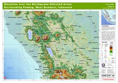
Elevation Over the Earthquake -Affected Areas of...
This map represents the range of elevation for the area affected by the 6.3 magnitude earthquake...
4086 miles away
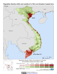
Vietnam 10m LECZ and Population Density Map
Low Elevation Coastal Zone and population desnsity within and outside of a 10 meter low evelevation...
4122 miles away
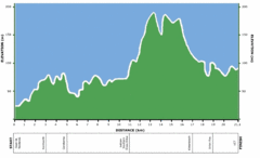
Two Oceans Half Marathon Elevation Map
Elevation map for the Two Oceans Half Marathon
4368 miles away
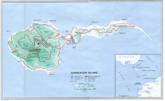
Corregidor Island Map
Elevation map with major roads and installations of Corregidor Island Battlefield Memorial
4925 miles away
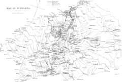
St Helena Historical Map
Map of St Helena by Fowler
4969 miles away
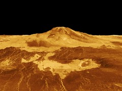
Magellan Venus Map
Digital elevation map of Venus from Magellan.
5096 miles away
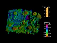
Digital Elevation Map of Lunar South Pole
Image brightness is generated from the strength of the radar echoes that are bounced of the lunar...
5096 miles away


 Explore Maps
 Map Directory
