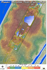
Olympic Trials Course Map
Elevation of the 2008 olympic trials marathon course in New York's Central Park.
0 miles away
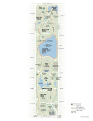
Central Park Fitness Map
Guide to fitness and training in Central Park, New York
less than 1 mile away
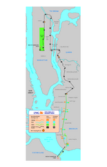
New York Marathon Course Map 2008
Official 2008 course map of the New York Marathon.
2 miles away
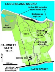
Caumsett State Park Map
Park map of Caumsett State Park on Long Island Sound, New York
28 miles away
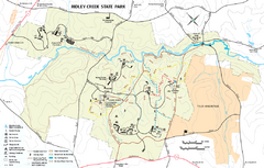
Ridley Creek State Park Map
Detailed recreation map for Ridley Creek State Park in Pennsylvania
97 miles away
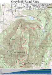
Mt. Greylock Road Race Course Map
Course map of the annual Mount Greylock Road Race. 8 Miles (uphill). Start/Finish: Mt. Williams...
137 miles away
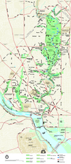
Rock Creek Park map
Map of Rock Creek Park and its immediate surroundings in Washington, DC
206 miles away
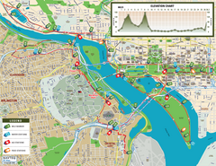
Washington D.C. Marine Corps Marathon Course Map...
Official 2008 course map of the Washington D.C. Marine Corps Marathon
209 miles away
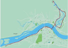
Fredericton Marathon Course Map 2007
Course map of the Fredericton, New Brunswick marathon May 2007
512 miles away
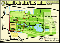
Hilton Head Run for Ret 5K Race Course Map
Hilton Head Island Run for Ret 5K Race Course, Aug 30, 2008.
707 miles away
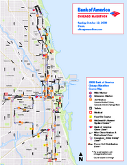
Chicago Marathon Course Map 2008
Official 2008 course map of the Chicago Marathon
713 miles away
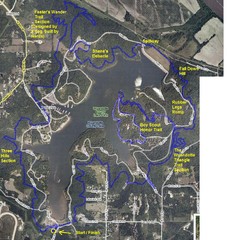
Psycho Psummer Run (Past Course) Map
1107 miles away
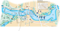
Town Lake Map
Mape of Town Lake and surrounding area, with detail on walking trails
1516 miles away
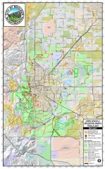
Boulder Open Space and Mountain Park Trail Map
Shows all trails in Open Spaces and Mountain Parks around Boulder, CO
1642 miles away
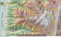
Logan Peak Trail Run Map 2009
Trail run map of the Logan Peak Trail Run 2009 course.
1951 miles away
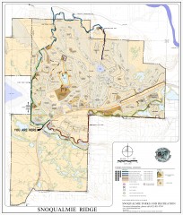
Snoqualmie Trail Map
Shows both soft surface and paved trails for biking, running/hiking/wailking, and horseback riding
2381 miles away
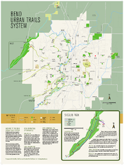
Bend urban trails system Map
The Bend Urban Trail System currently includes approximately 48 developed miles of trails which...
2395 miles away

Washington Park Arboretum Trail Map
Trail map of Washington Park Arboretum in Seattle.
2402 miles away
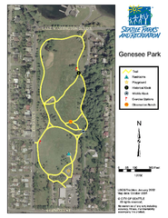
Genesee Park Trail Map
Trail map of Genesee Park in Mt Baker, Seattle, WA
2402 miles away
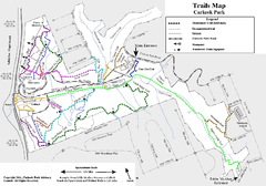
Carkeek Park Trail Map
Trail map of Carkeek Park on the Puget Sound, Seattle, WA. Shows maintained and unmaintained trails.
2405 miles away
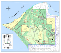
Discovery Park trail map
Trail and facility map of Discovery Park. Discovery Park is a 534 acre natural area park operated...
2408 miles away
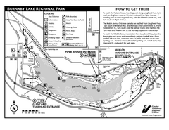
Burnaby Lake Park Trail Map
Trail map of Burnaby Lake Park in Vancouver, BC
2420 miles away
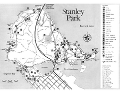
Stanley Park Trail Map
Trail map of Stanley Park near downtown Vancouver, BC. Shows monuments.
2429 miles away
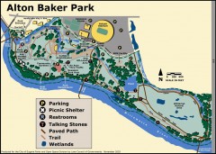
Alton Baker Park Map
Shows parking, picnic shelters, restrooms, talking stones, paved path, trail, and wetlands. Alton...
2480 miles away

Bear Creek Greenway Map
Trail map of the Bear Creek Greenway connecting Central Point to Ashland, Oregon. Will eventually...
2498 miles away
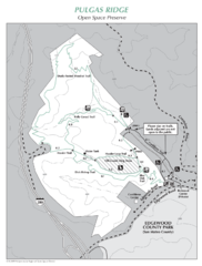
Pulgas Ridge Open Space Preserve Map
Trail map of Pulgas Ridge Open Space Preserve. 366 acres and 6 miles of trails
2570 miles away

Bay to Breakers race course Map
Bay to Breakers course. Held annually on the third Sunday in May. "ING Bay to Breakers...
2571 miles away
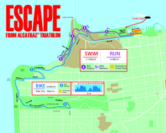
Escape From Alcatraz Triathlon Course Map 2009
Official course map of the 2009 Escape From Alcatraz Triathlon in San Francisco
2572 miles away
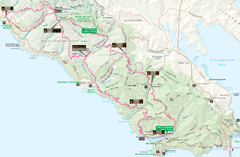
Headlands 50K Map (for 2011 race and future races)
Course For 2011 Headlands 50K
2575 miles away
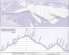
Dipsea Race Course Map
Course map of the annual Dipsea Trail Run Race. Shows birds-eye view and elevation profile of the...
2576 miles away
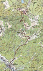
Grand Ballon Race Course Map
Topo course map of the 13.2 km running race to the summit of Grand Ballon
3853 miles away
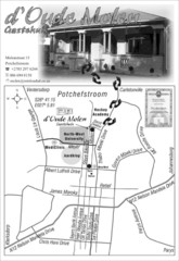
d` Oude Molen Guest House Map
d` Oude Molen Guest House Self Catering BnB Accommodation Family rooms
7957 miles away
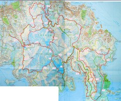
Hong Kong East Running Map
8048 miles away


 Explore Maps
 Map Directory
