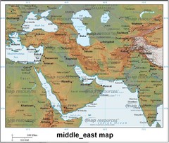
Middle East Map
Map of Middle East includes countries, streets, cities, towns and waterways.
0 miles away
Near Middle East
1865 × 1583•1.9 MB•JPG
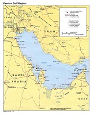
Persian Gulf Regional Map
Map of Persian Gulf region, including Saudi Arabia, Iran, and Iraq
485 miles away
Near Persian Gulf
1412 × 1779•281 KB•JPG
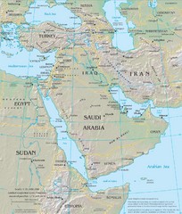
Middle East Physical Map
Physical map of the Middle East with shaded relief.
651 miles away
Near Middle East
1300 × 1532•435 KB•JPG
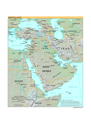
Middle East Map
722 miles away
Near dubai
575 KB•PDF
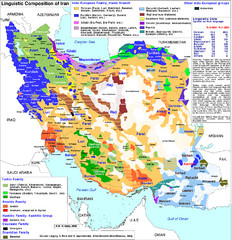
Languages of Iran Map
Linguistic groups of Iran. Very diverse plateau.
790 miles away
Near iran
800 × 827•799 KB•JPG
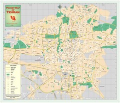
Tehran, Iran Map
Tehran Street Map. Shows locations of all most important buildings including mosques, museums...
869 miles away
Near Tehran, Iran
3000 × 2561•785 KB•JPG
page 1 of 1


 Explore Maps
 Map Directory
