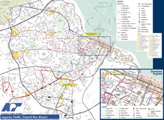
Augusta Public Transit Routes Map
Transit Route Map of the town of Augusta. Includes all streets, some important buildings, and a...
0 miles away
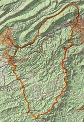
Twelve O'Clock Knob Loop Map
This is a pretty significant ride in Virginia. The main feature is two devastating back-to-back...
266 miles away
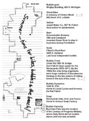
Bubble Ride Route Map
Bubble Ride Route Map from Critical Mass in Chicago
658 miles away
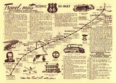
Route 66 Chicago, IL to Springfield, MI Map
658 miles away
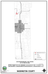
School Bus Route Map
820 miles away
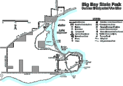
Big Bay State Park Map
Detailed map of nice hikes and stops around Big Bay State Park near Lake Superior.
1028 miles away
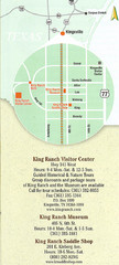
Kingsville Map
Map of Kingsville, with detail of main city-sites
1030 miles away
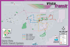
Sierra Vista Transit Route Map
Route Map of Sierra Vista Transit Bus System. Includes all transit routes, bus stops, streets...
1650 miles away
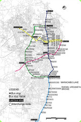
Maracaibo Bus Map
Simple map marking bus-stops and routes.
1710 miles away
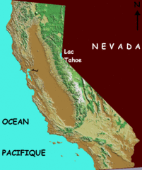
California elevation Map
California map showing elevations by contours, with Lake Tahoe identified.
2116 miles away
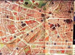
Granada Tourist Map
Tourist map of Granada, Spain
4300 miles away
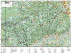
Samobor Region Cycling Route Map
Cycling route map for region west of Samobor, Croatia. Shows all routes in km
4940 miles away
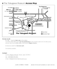
Tokugawa Museum Access Map
The Tokugawa Museum was established by the Suifu-Meitokukai Foundation under the guidance of Duke...
6897 miles away
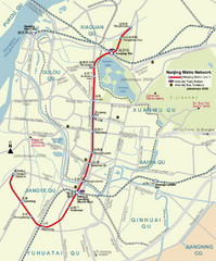
Nanjing Metro Map
Clear map marking Nanjing's metro stops and routes.
7719 miles away
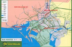
Karachi Bus Route Map
Bus routes and districts are clearly labeled.
7928 miles away
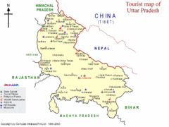
Uttar Pradesh Tourist Map
8130 miles away
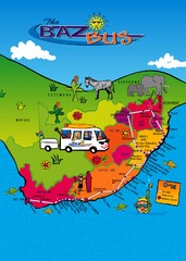
Baz Bus Map
Covering the entire East Coast of South Africa including: The Garden Route, Swaziland, Drakensberg...
8263 miles away
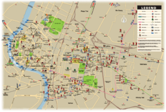
Bangkok Map
Map of central Bangkok and surrounding areas shows main roads, BTS Skytrain, railways and stations...
9180 miles away
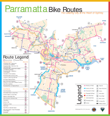
Parramatta Bike Route Map
9434 miles away
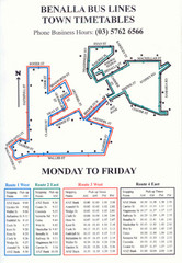
Benalla Bus Lines Map
Bus timetable and route map for town of Benalla
9752 miles away


 Explore Maps
 Map Directory
