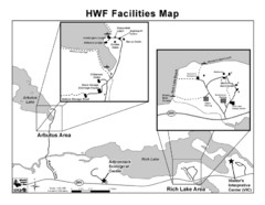
Adirondack Map
Map of Adirondack Park Reserve. Shows Rich Lake Area, Arbutus Area, and the location of the...
0 miles away
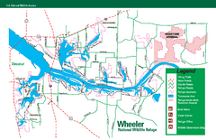
Wheeler National Wildlife Refuge Map
Map of Wheeler National Wildlife Refuge. Includes all roads, hiking trails, camp grounds and...
937 miles away
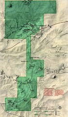
Petrified Forest Map
Map of the Petrified Forest, Painted Desert and Rainbow Forest. Shows all roads, tourist...
1982 miles away
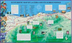
La Ceiba Ecotourism Map
Ecotourism map of La Ceiba, Honduras and its surroundings.
2090 miles away
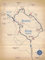
Red Rock Canyon Trail Map
Hiking trail map
2227 miles away
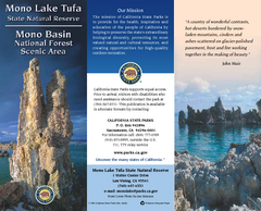
Mono Lake Tufa State Natural Reserve Map
Map of reserve with detail of trails and recreation zones
2348 miles away
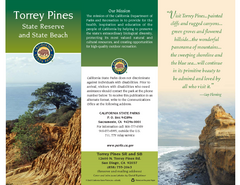
Torrey Pines State Park Map
Map of park with detail of trails and recreation zones
2424 miles away
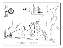
Torrey Pines State Reserve Trail Map
Map of park with detail of trails and recreation zones
2424 miles away
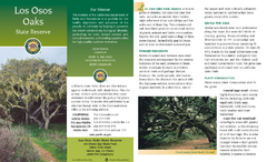
Los Osos Oaks State Reserve Map
Map of reserve with detail of trails and recreation zones
2519 miles away

Ano Nuevo State Park Map
Map of park with detail of trails and recreation zones
2536 miles away
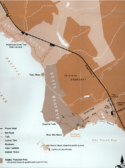
Ano Nuevo State Park Map
Map of park with detail of trails and recreation zones
2536 miles away
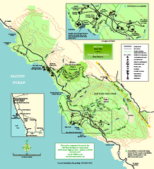
Salt Point State Park Map
Topo park map of Salt Point State Park and Kruse Rhododendron State Reserve. Shows trails by use...
2543 miles away
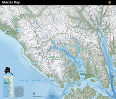
Glacier Bay National Park Map
Map of Glacier Bay National Park includes terrain map of the park and a small map that shows the...
2738 miles away
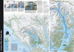
Glacier Bay National Park Map
Map of Glacier Bay National Park includes historical information about the bay as well as a...
2814 miles away
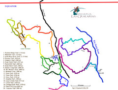
Reserva Las Gralarias Trail Map
3060 miles away
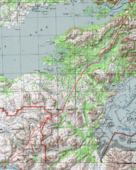
Alaska Peninsula Map
Map with trek route detail
3231 miles away
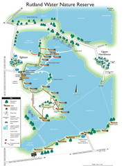
Map of Rudlin Nature Reserve
Full-color map of Rudlin Water Nature Reserve that includes the locations off all Footpaths...
3282 miles away
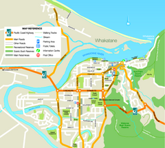
Whakatane Town Map
8827 miles away
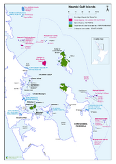
Hauraki Gulf Islands Nature Reserves Map
Shows nature reserves, marine reserves, and boundary of Hauraki Gulf Marine Park.
8861 miles away
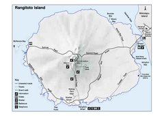
Rangitoto Island Map
Overview map of Rangitoto Island, New Zealand, a volcanic island public reserve.
8885 miles away
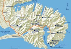
Banks Peninsula Map
Map of Banks Peninsula, with detail of bays and reserves
9202 miles away


 Explore Maps
 Map Directory
