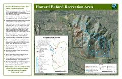
Howard Buford Recreational Area Trails Map
Map of the Howard Buford Recreational Area trails, roads, picnic areas, bathrooms, attractions.
0 miles away
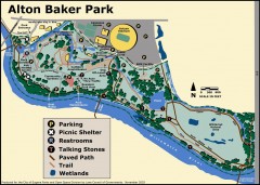
Alton Baker Park Map
Shows parking, picnic shelters, restrooms, talking stones, paved path, trail, and wetlands. Alton...
9 miles away
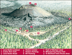
Newberry National Volcanic Monument - Lava Lands...
Map of Lava Butte which rises 500 feet above the visitor center. This cinder cone erupted 7,000...
89 miles away
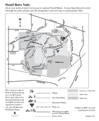
Powell Butte Nature Park Trail Map
Trail map of Powell Butte Nature Park. Shows over 9 miles of trails
95 miles away
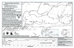
Forest Park Mountain Biking Map
Forest Park now includes over 5,100 wooded acres making it the largest, forested natural area...
98 miles away
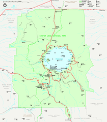
Crater Lake National Park official map
Official map of Crater Lake National Park. Shows hiking trails, elevations of peaks, roads, and...
98 miles away
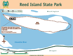
Reed Island State Park Map
Map of park with detail of trails and recreation zones
103 miles away
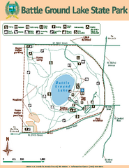
Battle Ground Lake State Park Map
Map of park with detail of trails and recreation zones
117 miles away
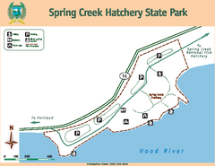
Spring Creek Hatchery State Park map
Map of park with detail of trails and recreation zones
131 miles away
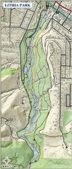
Lithia Park Trail Map
Trail map of Lithia Park in town of Ashland, Oregon. Adjacent to the Oregon Shakespeare Festival.
139 miles away
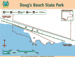
Dougs Beach State Park Map
Map of park with detail of trails and recreation zones
141 miles away
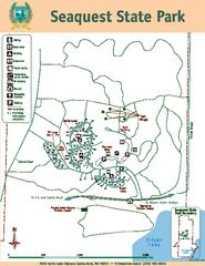
Seaquest State Park Map
Map of park with detail of trails and recreation zones
148 miles away
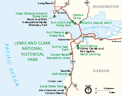
Lewis & Clark National Historic Trail...
Official NPS map of Lewis & Clark National Historic Trail in Oregon-Washington. Shows all areas...
151 miles away
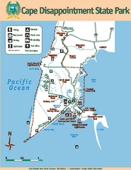
Cape Dissapointment State Park Map
Map of park with detail of trails and recreation zones
153 miles away
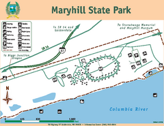
Maryhill State Park Map
Map of park with detail of trails and recreation zones
158 miles away
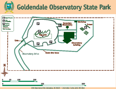
Goldendale State Park Map
Map of park with detail of trails and recreation zones
161 miles away
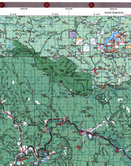
Klamath National Forest Map
Visitor Map of Klamath, western part of the park. Includes all roads, lakes, rivers and camping...
161 miles away
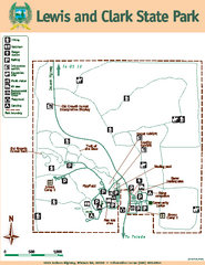
Lewis and Clark State Park Map
Map of park with detail of recreation zones and trails
163 miles away
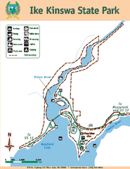
Ike Kinswa State Park Map
Map of park with detail of trails and recreation zones
168 miles away
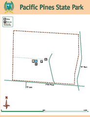
Pacific Pines State Park Map
Map of park with detail of trails and recreation zones
168 miles away
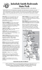
Jedediah Smith Redwoods State Park Campground Map
Map of campground region of park with detail of trails and recreation zones
174 miles away
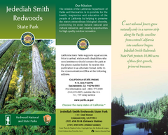
Jedediah Smith Redwoods State Park Map
Map of park with detail of trails and recreation zones
174 miles away
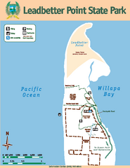
Leadbetter Point State Park Map
Map of park with detail of recreation zones and trails
175 miles away
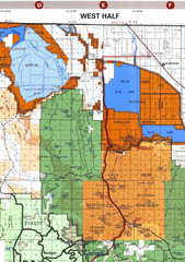
Modoc National Park Map
Visitor Map of Modoc National Park--Western Part. Includes the parameters of the Lava Beds...
178 miles away
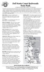
Del Norte Coast Redwoods State Park Campground Map
Map of park with detail of trails and recreation zones
180 miles away
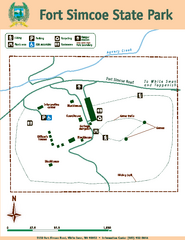
Fort Simcoe State Park Map
Map of park with detail of trails and recreation zones
186 miles away
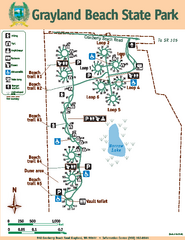
Grayland Beach State Park Map
Map of park with detail of trails and recreation zones
187 miles away
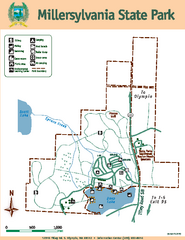
Millersylvania State Park Map
Map of park with detail of trails and recreation zones
190 miles away
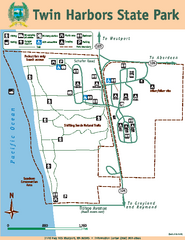
Twin Harbors State Park Map
Map of park with detail of trails and recreation zones
192 miles away
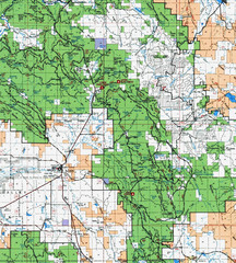
Clip10 Map
Visitor Maps of Modoc National Park, eastern part of the park includes all roads, camping areas...
194 miles away
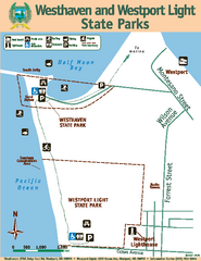
Westhaven/Westport Light State Parks Map
Map of park with detail of trails and recreation zones
195 miles away
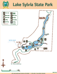
Lake Sylvia State Park Map
Map of island with detail of trails and recreation zones
197 miles away
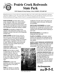
Prairie Creek Redwoods State Park Campground Map
Map of campground region of park with detail of trails and recreation zones
197 miles away
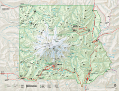
Mount Rainier National Park map
Official NPS map of Mt. Rainier National Park. Shows the entire park and surroundings
197 miles away
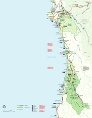
Redwood National Park Map
Official NPS map of Redwood National Park, California. Also shows Jedediah Smith Redwoods State...
201 miles away
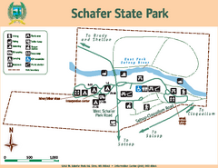
Schafer State Park Map
Map of park with detail of trails and recreation zones
203 miles away
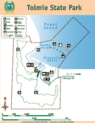
Tolmie State Park Map
Map of park with detail of trails and recreation zones
204 miles away
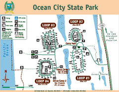
Ocean City State Park Map
Map of park with detail of trails and recreation zones
204 miles away
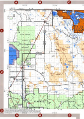
Modoc National Forest Map
Forest Visitor Map of the western most part of Modoc National Park. Includes county boundaries...
205 miles away


 Explore Maps
 Map Directory
