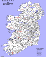
Ireland County/ Barony Map
Barony and County Map of Ireland
0 miles away
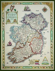
Hand-Drawn Ireland Map
Guide to Ireland and Northern Ireland, in Gaelic
85 miles away
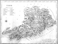
Cork County Map
Map of County Cork from 1800
128 miles away
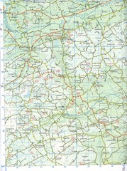
Kilmeen Area County Cork Map
Road and topo map of Kilmeen area in southwestern County Cork.
135 miles away
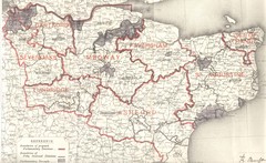
Kent, England County Map
411 miles away
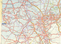
Maastricht Map
Highway map of Maastricht area
615 miles away
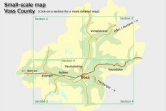
Voss County, Norway Region Map
731 miles away
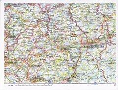
Gerhardsbrunn Map
734 miles away
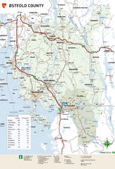
Ostfold County Map
Road map of Ostfold County, Norway.
828 miles away
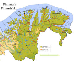
Finnmark County Map
Elevation map of Finnmark County, Norway. Color shading shows meters above sea level and national...
1546 miles away
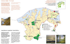
Finnmark Nature Parks and Reserves Map
National parks and nature reserves of Norwegian county of Finnmark. From wikipedia: "In the...
1547 miles away
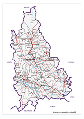
Dambovita County, Romania Map
Administrative map of Dambovita County, Romania. The map shows, also, all important roads.
1616 miles away
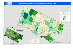
Montgomery County Tree Cover Map
Poster map of tree cover of Montgomery County, Pennsylvania
3179 miles away
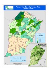
Chester County Tree Cover Map
Poster map of tree cover in Chester County, Pennsylvania
3205 miles away
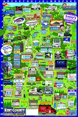
Kent County, Delaware Map
3233 miles away
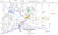
Kincardine Street & Trail Map
3253 miles away
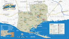
Norfolk County Tourist Map
Tourist map of Norfolk County, Ontario.
3276 miles away
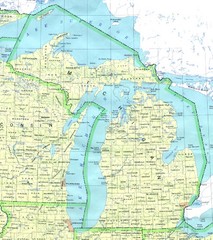
Lake Michigan Map
3343 miles away
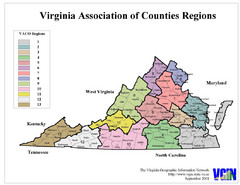
Virginia Counties Map
3428 miles away
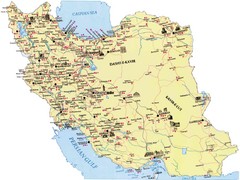
Iran Map
3455 miles away
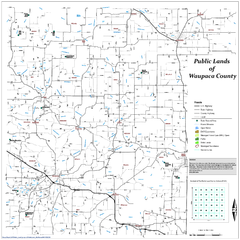
Public Lands of Waupaca County Map
3514 miles away
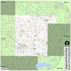
Regional Road Map of Waupaca County, Wisconsin
3522 miles away
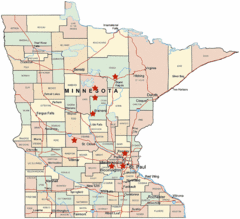
Minnesota County Map
3623 miles away
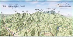
Panoramic Map of the Highlands of Roan (from TN)
Panoramic map of the Highlands of Roan as seen from Tennessee.
3636 miles away
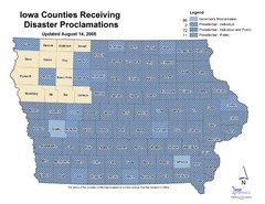
Iowa County Map
Iowa counties that receive disaster funding
3793 miles away
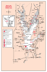
Rend Lake State Park, Illinois Site Map
3816 miles away
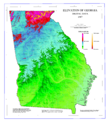
Map of Georgia Elevations
Digital elevation map of Georgia, U.S.
3868 miles away
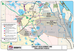
Orlando County Map
3985 miles away
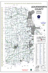
Leavenworth County Road Map
County road map of Leavenworth County, Kansas
3999 miles away
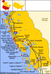
Bradenton Beach Map
Bradenton Beach and surrounding beach map.
4093 miles away
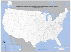
United States County Map
County map of the US
4126 miles away
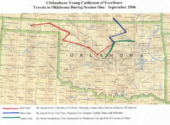
Oklahoma County Map
4284 miles away
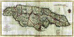
Jamaica County Map
Island map of Jamaica showing counties and parishes "Shows plantations, settlements, churches...
4368 miles away
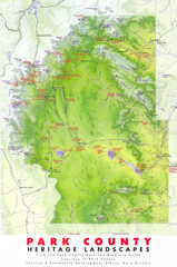
Park County Heritage Map
Shaded relief map of Park County, Colorado shows heritage landscapes, mountains, and
4383 miles away
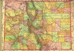
Colorado State map 1895
Map of the state of Colorado, 1895. Shows counties and major topography.
4390 miles away
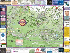
Minturn Map
4390 miles away
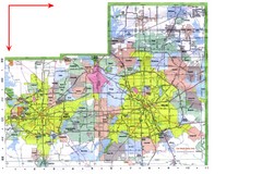
Dallas/ Fort Worth Map
Metropolitan Map of Dallas and Fort Worth. Includes highways, roads, towns and county divisions.
4400 miles away
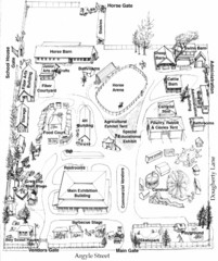
San Juan County Fair Map 2008
Fairgrounds map for the San Juan County Fair, Friday Harbor, Washington
4431 miles away


 Explore Maps
 Map Directory
