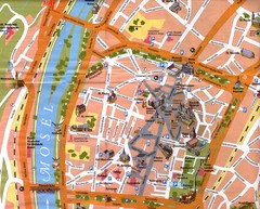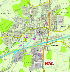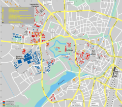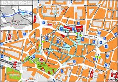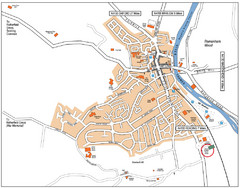
Henley-on-Thames Map
0 miles away
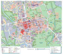
Oxford City Map
Tourist street map of Oxford
21 miles away
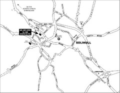
Solihull Town Map
71 miles away
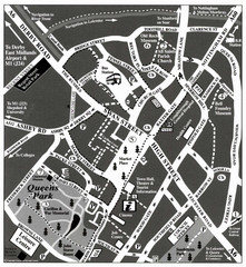
Loughborough Town Centre Map
86 miles away
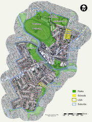
Canterbury Map
Map of parks, main streets, etc.
87 miles away
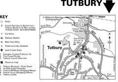
Tutbury Town Centre Map
97 miles away
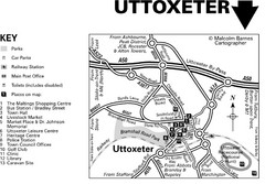
Uttoxeter Town Centre Map
103 miles away
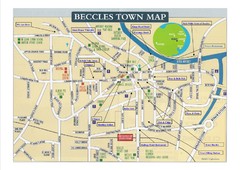
Beccles Town Map
123 miles away
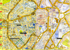
Sheffield City Center Map
130 miles away
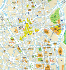
Lille Center Map
Street map of Lille city center
183 miles away
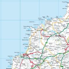
Cornwall Coast Map
Map of coast cities in Cornwall
198 miles away
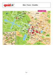
Versailles Tourist Map
Tourist street map of Versailles
232 miles away
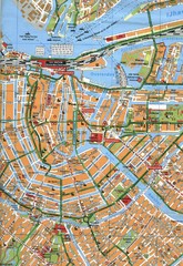
Amsterdam Center Map
254 miles away
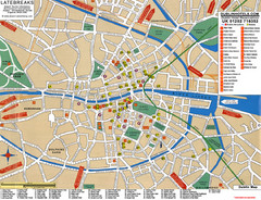
Dublin Tourist Map
Tourist street map of Dublin
258 miles away
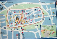
Xanten Tourist Map
Xanten center tourist map
316 miles away
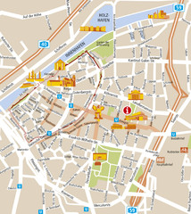
Duisburg City Map
Street map of Duisburg center
330 miles away
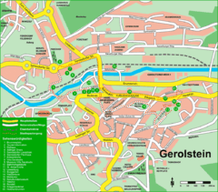
Gerolstein Map
Street map of Gerolstein
342 miles away
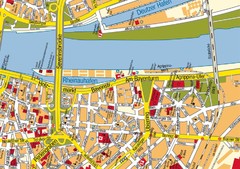
Cologne Center Map
Street map of city center of Cologne
343 miles away
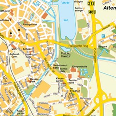
Nordhorn Center Map
Street map of Nordhorn town center
345 miles away
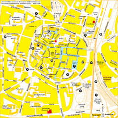
Recklinghausen Map
Street map of city
348 miles away
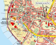
Borkum Street Map
Street map of town of Borkum
349 miles away
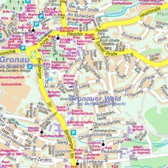
Bergisch Gladbach Map
City street map of Bergisch Gladbach
350 miles away
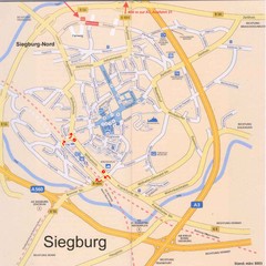
Siegburg Map
Street map of town of Siegburg
356 miles away
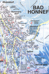
Bad Honnef Map
Street map of Bad Honney
358 miles away
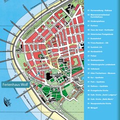
Norderney Tourist Map
Tourist street map of Norderney
370 miles away
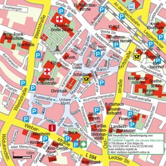
Ibbenbüren Downtown Map
Street map of Ibbenbüren city center
371 miles away
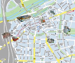
Hamm Center Tourist Map
Tourist street map of Hamm center
375 miles away


 Explore Maps
 Map Directory
