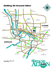
Alton, Illinois, and surrounding areas Map
Tourist map of the area around Alton, Illinois, showing ferry terminals, locks and dams, airports...
0 miles away
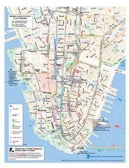
Lower Manhattan Public Transportation Map
Official MTA map of subway, bus, and ferry routes in Lower Manhattan.
866 miles away
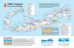
Bermuda Public Transport Map
Bus and ferry map of Bermuda. Shows ferry stops and bus routes.
1493 miles away
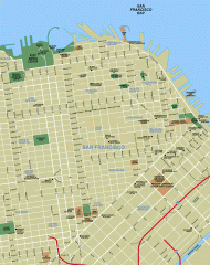
Downtown San Francisco tourist map
Tourist map of Downtown San Francisco spanning several neighborhoods, showing points of interest.
1742 miles away
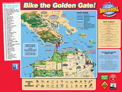
San Francisco Bike Map
1743 miles away
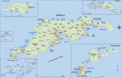
Map of Tortola Island
Tourist map of Tortola, the main island of the British Virgin Islands. Shows national parks and...
2084 miles away
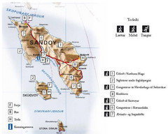
Sandoy Island Tourist Map
Tourist map of Sandoy, Faroe Islands. Shows ferry and bus stops and 7 hikes rated by difficulty
3696 miles away
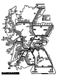
Scotland Rail Map
Guide to rail and ferries in Scotland
3903 miles away
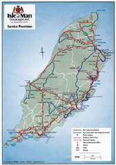
Isle of Man Transportation Map
3945 miles away
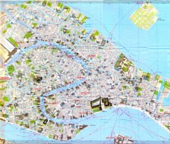
Venice Street Map
Detailed street map of Venice, Italy showing major landmarks, canals, and buildings.
4896 miles away
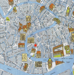
Venice Guide Map
4896 miles away
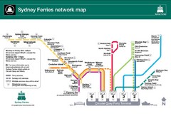
Sydney Ferries Map
Map of Sydney Ferry system with details of lines and stops
9079 miles away
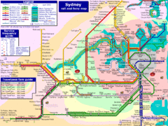
Sydney Rail and Ferry Map
Map of Sydney rail and ferry transit system
9079 miles away


 Explore Maps
 Map Directory
