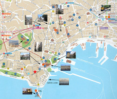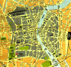
Pisa Town Map
Map of Pisa town centre and University of Pisa
0 miles away
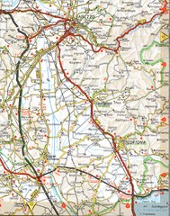
Cortona Road Map
85 miles away
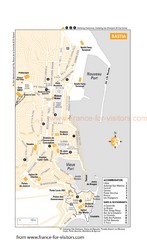
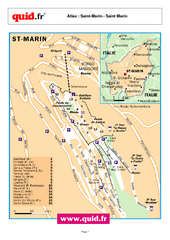
Bastia Tourist Map
Tourist map of Bastia, France. Shows accommodations, bars, and restaurants.
85 miles away
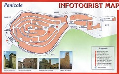
Panicale Tourist Map
Tourist map of small town of Panicale, Italy. Shows major buildings. In Italian. Scanned.
98 miles away
Verona Tourist Map
Tourist city map of Verona
123 miles away
Porta Romana Town Map
134 miles away
La Morra Map
138 miles away
Bergamo Upper Town Map
142 miles away
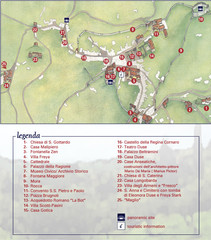
Asolo Town Map
Tourist map of Asolo, Italy. Shows points of interest, panoramic site, and touristic information...
162 miles away
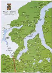
Lake Como Map
Map of lake with detail of surrounding towns
167 miles away
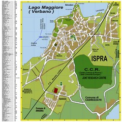
Ispra Town Map
Town map of Ispra, Italy on east side of Lake Maggiore (Lombardy region, Northern Italy). With...
170 miles away
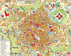
L'Aquila City Map
City map of L'Aquila, Italy. Shows points of interest.
179 miles away
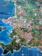
Rovinj Tourist Map
Tourist map of Rovinj, Croatia. Map is based on aerial photo.
186 miles away
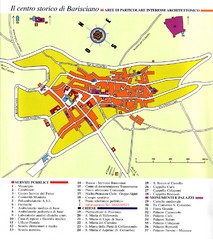
Barisciano Tourist Map
Tourist map of historic center of Barisciano, Italy. Points of interest labeled.
188 miles away
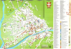
Bormio Tourist Map
Tourist map of town of Bormio, Italy. Legend of all streets and services.
190 miles away

St. Moritz Tourist Map
Tourist map of St. Moritz, Switzerland. Shows summer and winter points of interest.
194 miles away
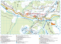
Santa Cristina Tourist Map
Tourist map of town of Santa Cristina Val Gardena, Italy. Santa Cristina lies on the sunny side of...
207 miles away
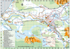
Selva Gardena Tourist Map
Tourist map of Selva Gardena, Italy, a popular skiing and hiking destination in the Italian Alps.
207 miles away
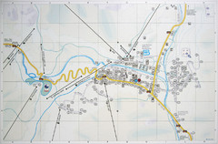
Corvara Town Map
Tourist map of Corvara, Italy in the Dolomites. From photo of sign
209 miles away
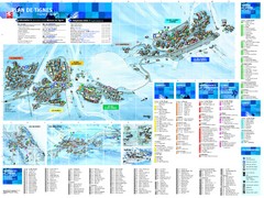
Tignes Ski Resort Town Map
Map of the ski resort town of Tignes, France. Shows residences, hotels, services, clubs, and other...
210 miles away

Valfrejus Town Street Map
Street map of the ski resort town of Valfrejus, France. Shows points of interest.
211 miles away
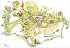
Tramonti di Sopra Tourist Map
Tourist map of town and surrounding area of Tramonti di Sopra, Italy. Drawing shows streets...
214 miles away
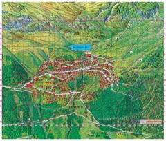
Bettmeralp Summer Map
Summer tourist map of town of Bettmeralp, Switzerland. With reference grid.
217 miles away
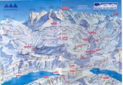
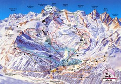
Jungfrau Map
228 miles away

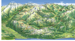
Chamonix Valley Town Map
Map of Chamonix Valley and ski locations
231 miles away
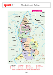
Liechtenstein Regional Map
Country map with detail of regional divides
239 miles away
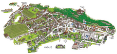
Vaduz Town Map
Tourist map of town of Vaduz, Liechtenstein. Panoramic view shows buildings and streets.
241 miles away
Cala Gonone Tourist Map
Tourist map of Cala Gonone, Sardinia and Dorgali, Sardinia. Shows points of interest. Scanned...
241 miles away
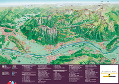
Liechtenstein Tourist Map
Tourist map of the country of Liechtenstein. Panoramic view shows all towns, trails, and mountains.
242 miles away
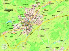
Lindenberg im Allgäu Map
Street map of Lindenberg
270 miles away
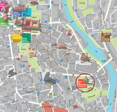
Kempten im Allgäu Tourist Map
Tourist street map of Kempten im Allgäu
277 miles away
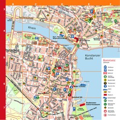
Konstanz Tourist Map
Tourist map of Konstanz
279 miles away
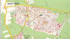
Geretsried Map
Street map of Geretsried
291 miles away
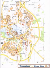
Bad Waldsee Map
Street map of Bad Waldsee
293 miles away
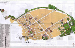
Pompei Map
Tourist map of Pompei, Italy. Shows excavations. Scanned, some bleed through. In English and...
293 miles away
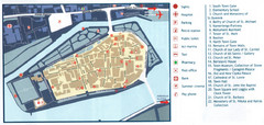
Trogir Tourist Map
Tourist map of old island town Trogir, Croatia. Shows points of interest.
293 miles away


 Explore Maps
 Map Directory
