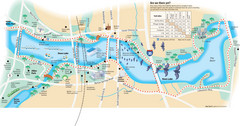
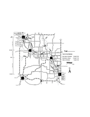
Town Lake Map
Mape of Town Lake and surrounding area, with detail on walking trails
0 miles away

Hill Country State Natural Area Trail Map
99 miles away
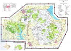
Sam Houston National Forest Map
US Forest Service map of Sam Houston National Forest. Shows locations of campgrounds, facilities...
142 miles away
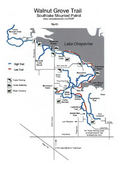
Walnut Grove Trail Map
192 miles away
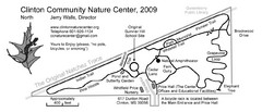
Clinton Community Nature Center Map
A relaxing walk through the Clinton Community Nature Center.
461 miles away
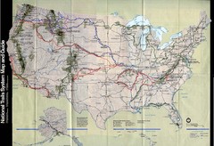
National Trails System Map
Map of all major US trail systems
510 miles away
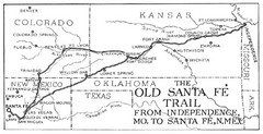
The Old Santa Fe Trail Map
512 miles away
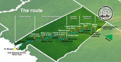
Alabama Scenic River Trail Map
631 miles of riverway. Starts in northeastern Alabama's mountains, flows through 9 lakes and...
656 miles away
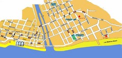
Puerto Vallarta, Mexico Beach Tourist Map
812 miles away
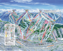
Vail Map
Map of Vail with ski locations and lifts included
813 miles away
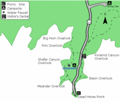
Dead Horse Point State Park Map
Stroll along the Rim Walk, towering 2,000 feet directly above the Colorado River. The mesa that is...
890 miles away
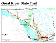
Great River State Trail Map
Nice hike through natural settings along a beautiful river.
939 miles away
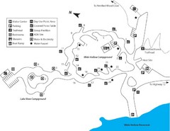
Escalante Petrified Forest State Park Map
Escalante Petrified Forest State Park is located in beautiful southern Utah, just 44 miles east of...
950 miles away
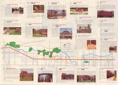
Old Plank Road Trail Map
Map and guide to the Old Plank Road Trail from Joliet, Illinois to Park Forest, Illinois
952 miles away
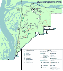
Wyalusing State Park Map
Detailed Park Map.
953 miles away
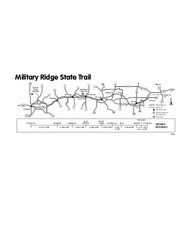
Military Ridge State Trail Map
Simple map marking trail route.
956 miles away
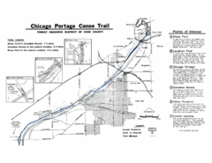
Chicago Portage Canoe Trail Map
Map of the Chicago Portage Canoe Trail in western Cook County on the Des Plaines River, Illinois...
964 miles away
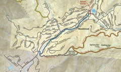
Montreat trail map
Detailed guide to the trail system surrounding the village of Montreat, NC.
969 miles away
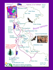
Bryce Canyon National Park Trails Map
970 miles away
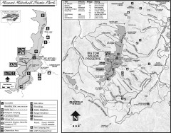
Mount Mitchell State Park map
Official map of Mt. Mitchell State Park in North Carolina. Park contains the 6,684 ft summit of...
973 miles away
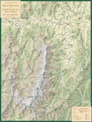
Black Mountains and South Toe and Cane River...
Guide to recreation around Mt. Mitchell State Park and Black Mountains
975 miles away
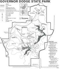
Governor Dodge State Park Map
Bike, Horse, trek, and recreational locations marked on this map.
979 miles away
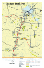
Badger State Trail Map
One of Wisconsin's best trails.
980 miles away
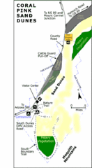
Coral Pink Sand Dunes State Park Map
Rippling arcs of rust-colored sand welcome you as you enter Coral Pink Sand Dunes State Park...
981 miles away
Sugar River Map
Towns, roads and rivers are all clearly marked on this map.
986 miles away

White River State Trail Map
Take the White River Trail from Elkhom to Burlington through nature's backyard.
997 miles away
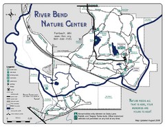
River Bend Nature Center Map
1001 miles away
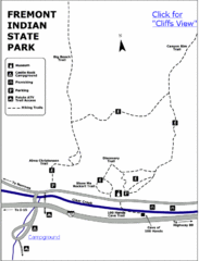
Fremont Indian State Park Map
Discover artifacts, petroglyphs, and pictographs left behind by the Fremont Indians. During...
1011 miles away
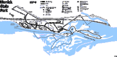
Merrick State Park Map
Beautiful hikes around the waterfront.
1016 miles away
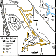
Rocky Arbor State Park Map
Detailed map of parking, water, ledges and boundaries for Rocky Arbor.
1023 miles away
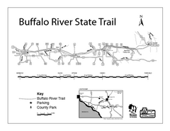
Buffalo River State Trail Map
Detailed map of excited hike through nature's finest.
1023 miles away
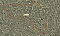
Bike Race Map Blank Hill Road
River Valley Cycling Club Course Map & Elevation Chart
1026 miles away

Chippewa Morraine State Park Map
Walking trails.
1029 miles away
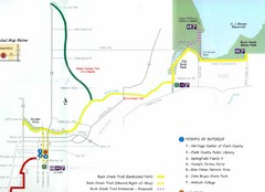
Buck Creek Trail Map
1035 miles away
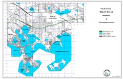
Orono City Map
City map of Orono, Minnesota. Shows DNR Luge Line Trail Railroad
1042 miles away
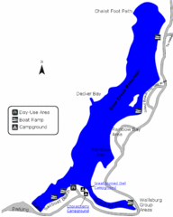
Deer Creek State Park Map
Deer Creek State Park lies in the southwest corner of beautiful Heber Valley and consistently...
1046 miles away
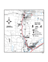
Red Cedar State Trail Map
Detailed trail map.
1049 miles away
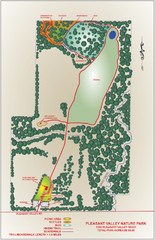
Pleasant Valley Nature Park Map
1050 miles away
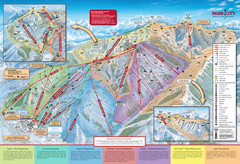
Park City Mountain Trail Map
Map of Park City Mountain's various ski trails
1056 miles away


 Explore Maps
 Map Directory
