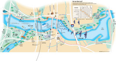
Town Lake Map
Mape of Town Lake and surrounding area, with detail on walking trails
0 miles away
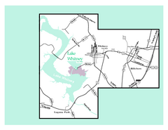
Lake Whitney, Texas State Park Map
118 miles away
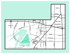
Cedar Hill, Texas State Park Map
168 miles away
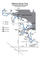
Walnut Grove Trail Map
192 miles away
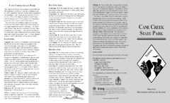
Cane Creek State Park Map
Cane Creek State Park Detail Map showing amenities, camp sites, and lake.
436 miles away
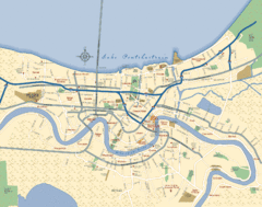
New Orleans Neighborhood Map
Overview map of city of New Orleans shows districts/neighborhoods and major streets.
455 miles away
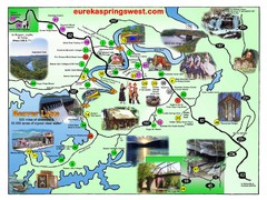
Eureka Springs West Tourist Map
Tourist map of Eureka Springs West on Beaver Lake in Eureka Springs, Arkansas. Shows points of...
483 miles away
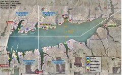
Winfield City Lake Map
Recreation map of Winfield City Lake in Winfield, Kansas. Named Timber Creek Lake. Shows camping...
494 miles away
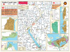
Tuttle Creek Lake Map
Army Corps of Engineers Map of Tuttle Creek Lake and adjoining State Parks.
632 miles away
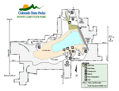
Bonny Lake State Park Map
Map of park with detail of recreation areas
695 miles away
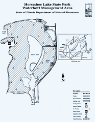
Horseshoe Lake State Park, Illinois Site Map
728 miles away
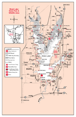
Rend Lake State Park, Illinois Site Map
739 miles away
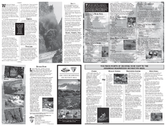
Arkansas Headwaters Recreation Area Map
Map of recreation area with detail of various recreation zones and lakes
741 miles away
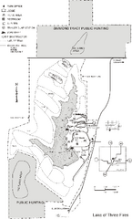
Lake of Three Fires State Park Map
Map of trails, hunting areas and lake access in Lake of Three Fires State Park.
743 miles away
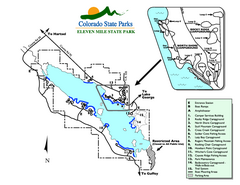
Eleven Mile State Park Map
Map of park with detail of campground zones
746 miles away
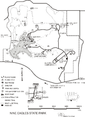
Nine Eagles State Park Map
Map of trails, lake depth and park facilities in Nine Eagles State Park.
750 miles away
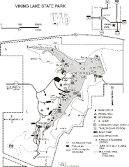
Viking Lake State Park Map
Map of trails, lake depths, fishing spots and park facilities in Viking Lake State Park.
756 miles away
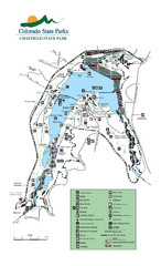
Chatfield State Park Map
Map of park with detail of recreation areas
765 miles away
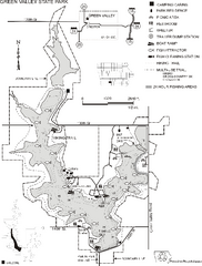
Green Valley State Park Map
Map of trails, lake depths, fishing spots and park facilities for Green Valley State Park.
774 miles away
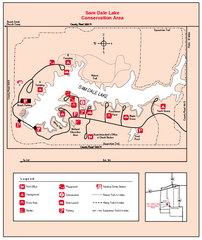
Sam Dale Lake, Illinois Site Map
775 miles away
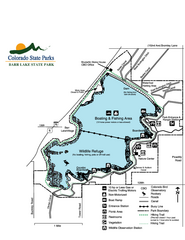
Barr Lake State Park Map
Map of park with detail of trails and recreation zones
778 miles away
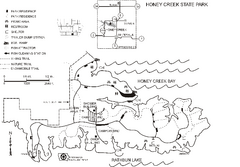
Honey Creek State Park Map
Map of trails, fishing spots and park facilities for Honey Creek State Park.
782 miles away

Red Haw State Park Map
Map of trails, lake depths, fishing spots and park facilities in Red Haw State Park.
784 miles away
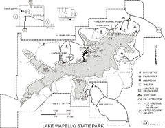
Lake Wapello State Park Map
Map of trails, lake depths and fishing spots at Lake Wapello State Park.
785 miles away
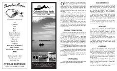
Jackson Lake State Park Map
Map of park with detail of recreation areas
787 miles away
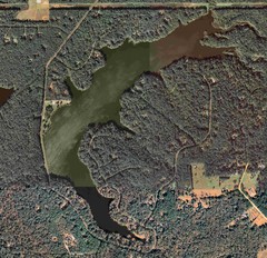
Lake Tallavana Map
Lake Tallavana aerial Map of the lake and surrounding areas.
791 miles away
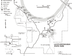
Lacey-Keosauqua State Park Map
Map of trails, indian mounds, lake depths and park facilities for Lacey-Keosauqua State Park.
794 miles away
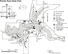
Prairie Rose State Park Map
Map of trails, lake depths, fishing spots and park facilities in Prairie Rose State Park.
797 miles away
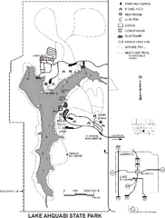
Lake Ahquabi State Park Map
Map of trails, lake depths and park facilities for Lake Ahquabi State Park.
798 miles away
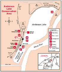
Anderson Lake, Illinois Site Map
809 miles away
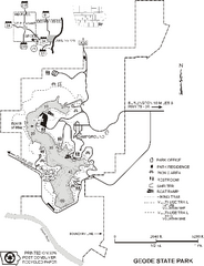
Geode State Park Map
Map of trails, lake depths and park facilities for Geode State Park.
813 miles away
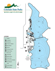
Boyd Lake State Park Map
Map of park with detail of recreation ares
815 miles away
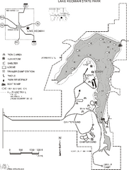
Lake Keomah State Park Map
Map of trails, fishing spots, lake depths and park facilities for Lake Keomah State Park.
817 miles away
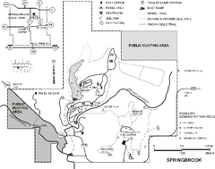
Springbrook State Park Map
Map of trails, hunting and fishing areas, and park facilities in Springbrook State Park.
818 miles away
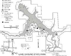
Lake Darling State Park Map
Map of hiking, biking and skiing trails, lake depths and park facilities for Lake Darling State...
824 miles away
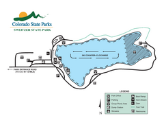
Sweitzer Lake State Park Map
Map of park with detail of recreation zones
828 miles away
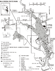
Big Creek State Park Map
Map of trails, lake depths and facilities in Big Creek State Park.
829 miles away
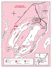
Rice Lake, Illinois Site Map
829 miles away
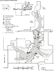
Rock Creek State Park Map
Map of trails, hunting and fishing areas in Rock Creek State Park.
841 miles away
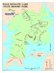
Dale Hollow Lake State Park Map
Map of trails and facilities of Dale Hollow Lake State Park.
842 miles away


 Explore Maps
 Map Directory
