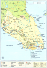
Johor Map
0 miles away
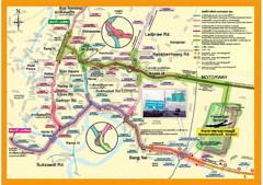
Bangkok Suvarnabhumi Expressway Map
Suvarnabhumi Expressway Map
867 miles away
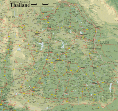
Thailand Map
Map of Thailand's North/East Provinces
1151 miles away
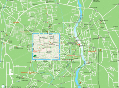
Chiang Mai City Map
1239 miles away
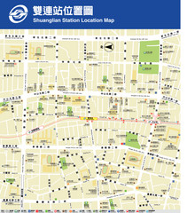
Shuanglian Station Map
Map of Shuanglian Station area in Taipei City
2015 miles away
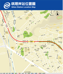
Qilian Station Map
A map of the Qilian Station area in the Beitou District
2019 miles away
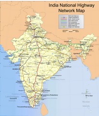
India Roadway Map
India National Highway Network Map
2124 miles away
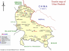
Uttar Pradesh Tourist Map
2310 miles away
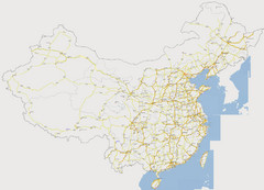
China Major Road Map
Major arterial roads of China
2597 miles away
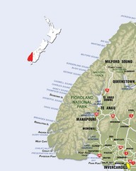
Fiordland Map
Map of Fiorland National Park region
5061 miles away
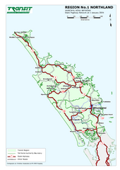
Northland Map
Regional map of Northland, including highway detail
5169 miles away
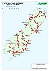
South Island State Highway Map
Map of state highway system throughout the South Island
5176 miles away
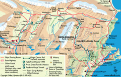
Otago Central Map
Otago map with detail of regional towns, rail station stops, and highways
5183 miles away
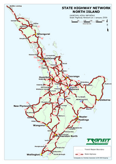
North Island State Highway Map
Map of state highway system throughout the North Island
5315 miles away
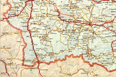
Blagoevgrad Area Map
Guide to area around Blagoevgrad, Bulgaria
5649 miles away
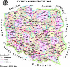
Poland Map
Map of Poland that includes all freeways, cities, districts and surrounding countries.
5894 miles away
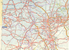
Maastricht Map
Highway map of Maastricht area
6488 miles away
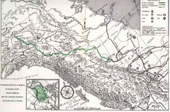
Alaska Highway Map
6629 miles away
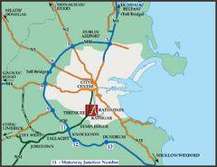
Central Dublin, Ireland Highway Map
6948 miles away
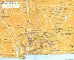
Central Accra Tourist Map
Tourist map of Accra, Ghana showing hotels, embassies, airline offices and neighborhoods.
7167 miles away
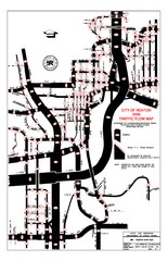
Renton WA Traffic Flow Map
City of Renton, WA traffic flow map
8076 miles away
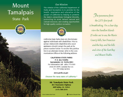
Mount Tamalpais State Park Map
Map of park with detail of trails and recreation zones
8432 miles away
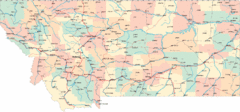
Montana Road Map
8525 miles away
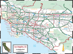
Los Angeles, California Transportation Map
8781 miles away
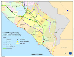
Orange County Map
8824 miles away
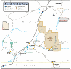
Zion National Park Highway Map
Highways, roads, cities and points of interest are marked on this clear map.
8887 miles away
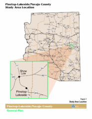
Arizona Highway Map
9082 miles away
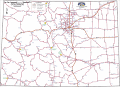
Colorado Highways Map
Road map of highways in state of Colorado
9087 miles away
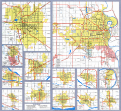
Nebraska City Road Maps Map
Shows roads/highways in 13 Nebraska cities.
9131 miles away
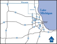
Illinois Highway Map
Highway Map of Illinois and area. Shows all Highways around Chicago area.
9336 miles away
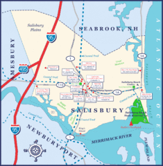
Salisbury Town Map
9360 miles away
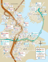
I-93 & I-90 Boston Map
Detail of exits and on-ramps for downtown Boston.
9394 miles away
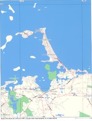
Hull Town Map
9398 miles away
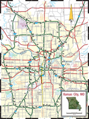
Kansas City Map
Map of main roads/highways in Kansas City area
9407 miles away
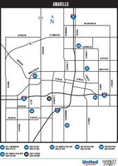
Amarillo Map
Map of main roads/highways in Amarillo
9419 miles away
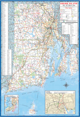
Rhode Island Road Map
Official Rhode Island state highway map. Insets show Newport and Providence.
9445 miles away
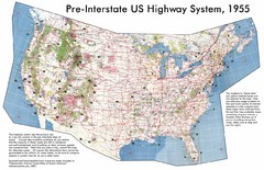
Pre-Interstate US Highway System Map
United States route and highway system pre-interstates, 1955
9502 miles away
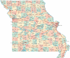
Missouri Map
Map of Missouri, including main roads and towns
9503 miles away
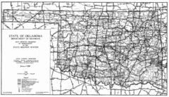
Oklahama Highway Map
Highway Map of Oklahoma State circa 1935. Includes all roads, towns, and detailed information on...
9508 miles away


 Explore Maps
 Map Directory
