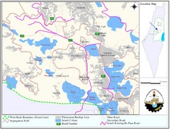
West Bank Village Map
Demographic map of several villages in the West Bank surrounding Jerusalem.
0 miles away
Near West Bank, Israel
1600 × 1225•295 KB•JPG
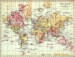
1897 British Empire Map
Guide to the British Empire and holdings as of 1897
3592 miles away
Near world
1116 × 849•159 KB•JPG
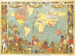
1886 British Empire Map
Guide to the British Empire as of 1886, beautiful illustrated map
3592 miles away
Near World
1051 × 794•1.1 MB•JPG

Colonial World Map 1772
Historical world map of European colonization (1772)
3592 miles away
Near World
1343 × 1064•290 KB•JPG
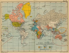
Colonial Posessions and Commercial Highways 1910...
Historical world map (1910) of various colonization and highway expansion
5704 miles away
Near World
2201 × 1705•971 KB•JPG
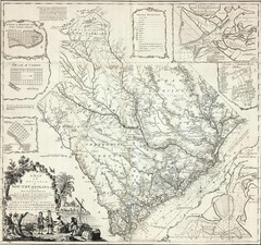
James Cook's South Carolina Map
English cartographer and explorer James Cook's 1773 map of English colony of South Carolina...
6304 miles away
Near South Carolina
3800 × 3563•2.5 MB•JPG
page 1 of 1


 Explore Maps
 Map Directory
